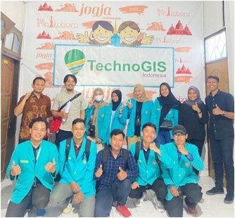
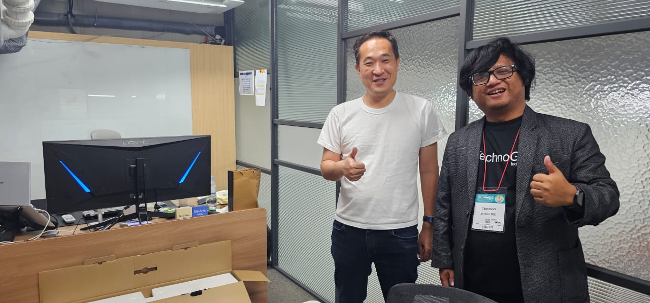
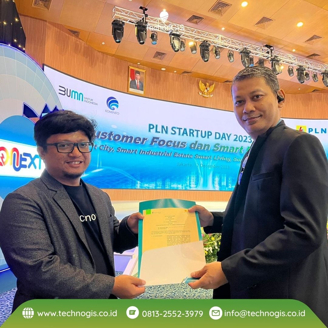
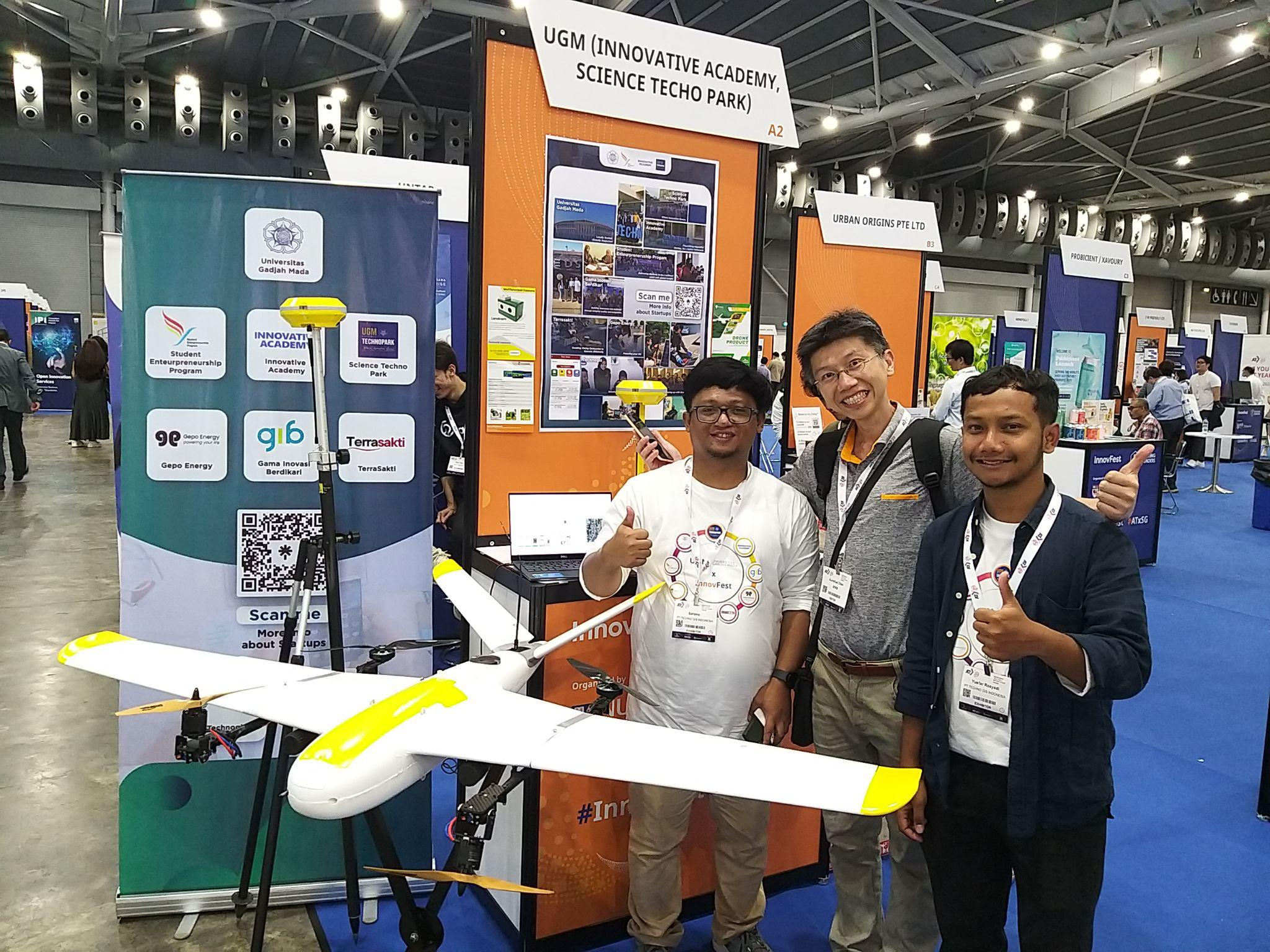
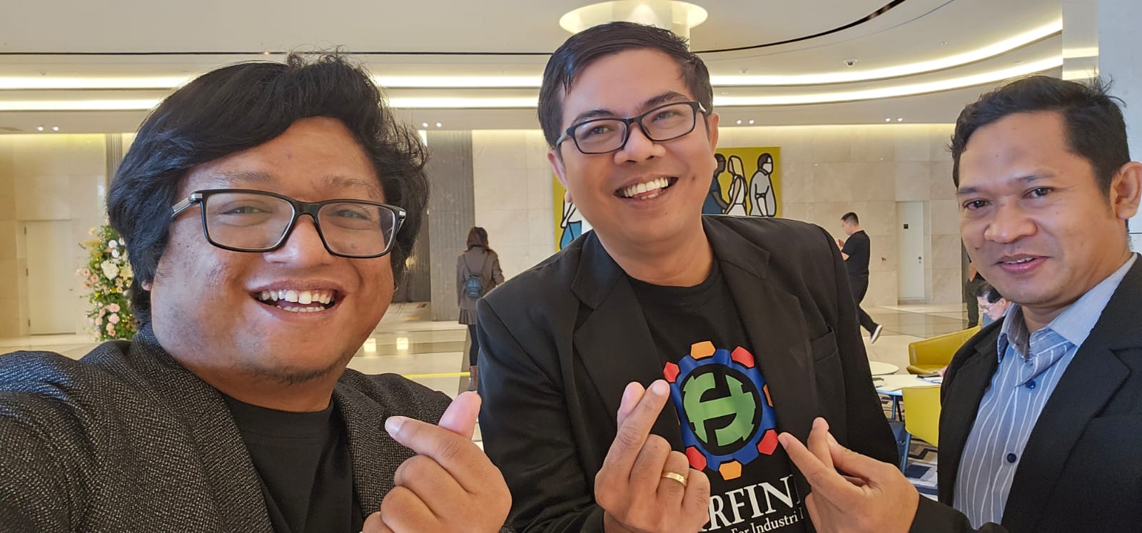
TechnoGIS CEO, Mr. Sarono, Appointed as Research and Innovation Lead in Starfindo (Asosiasi Startup for Industry Indonesia): Pioneering Start-up for Industry Advancement in Indonesia
Starfindo (Asosiasi Startup for Industry Indonesia), a leading startup dedicated to catalyzing innovation within the Indonesian industrial sector, proudly announces the appointment of Mr. Sarono, CEO of TechnoGIS, as its Research and Innovation Lead. Effective immediately, Mr. Sarono will spearhead strategic initiatives aimed at fostering research collaboration, industry-academic partnerships, and societal impact through innovative programs.
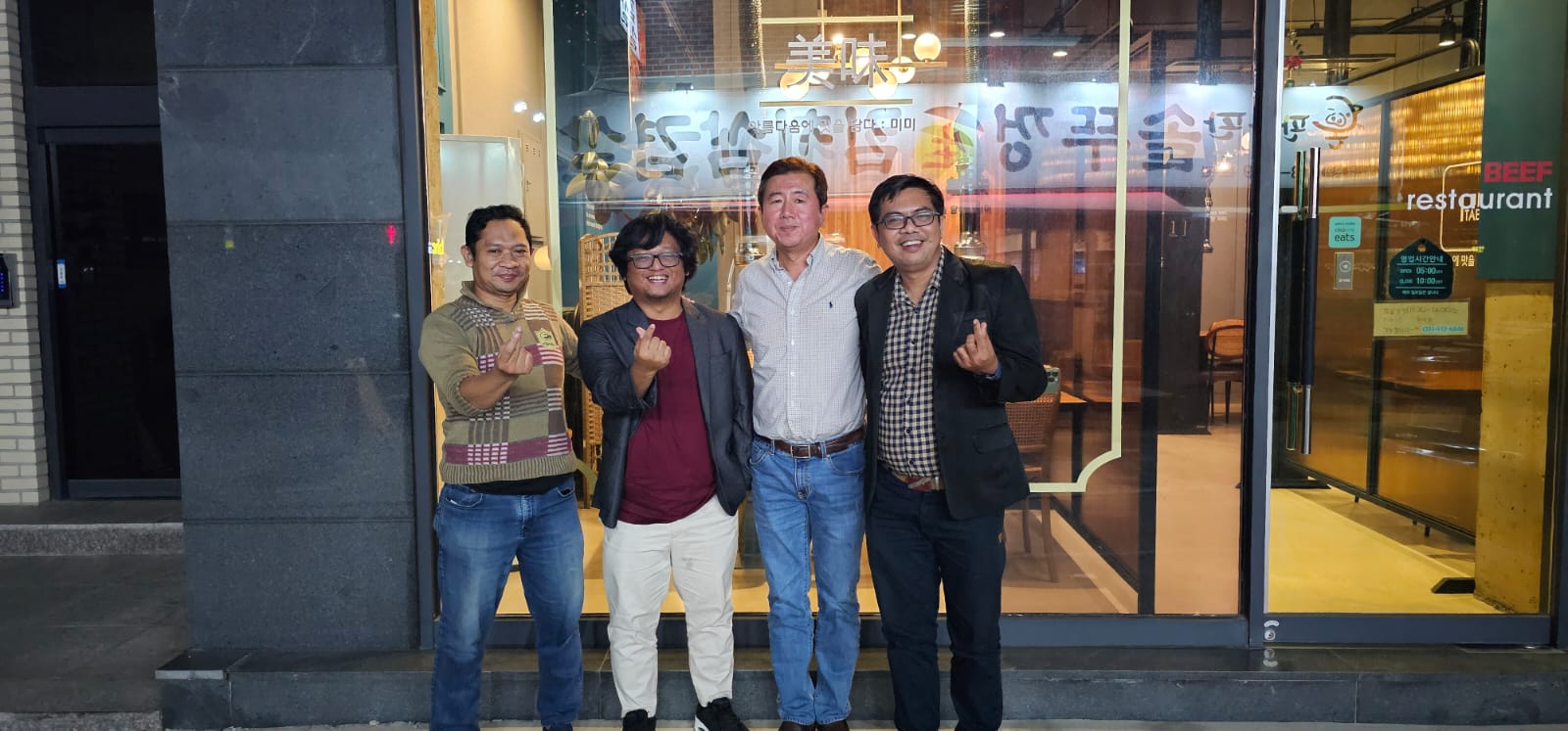
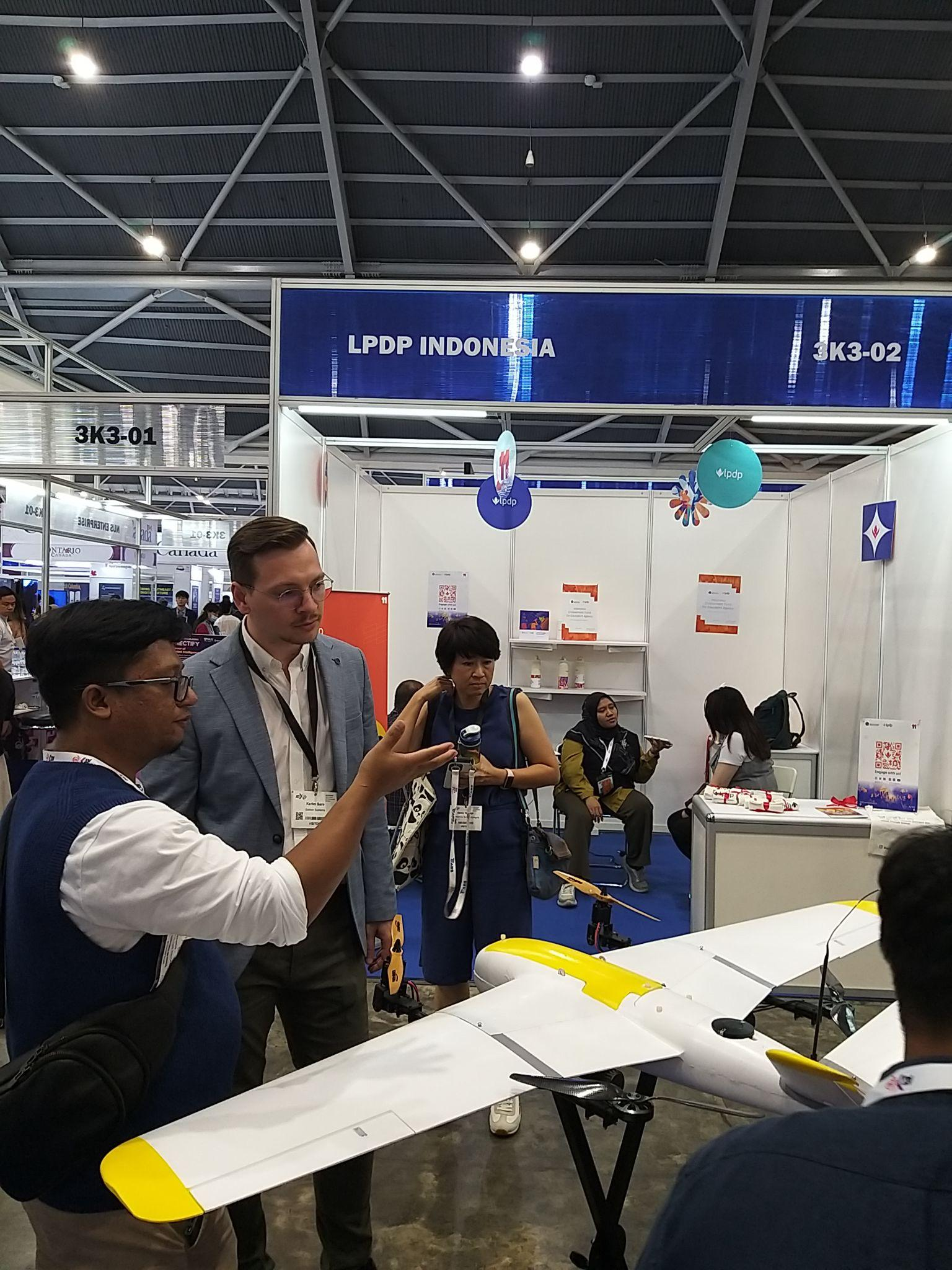
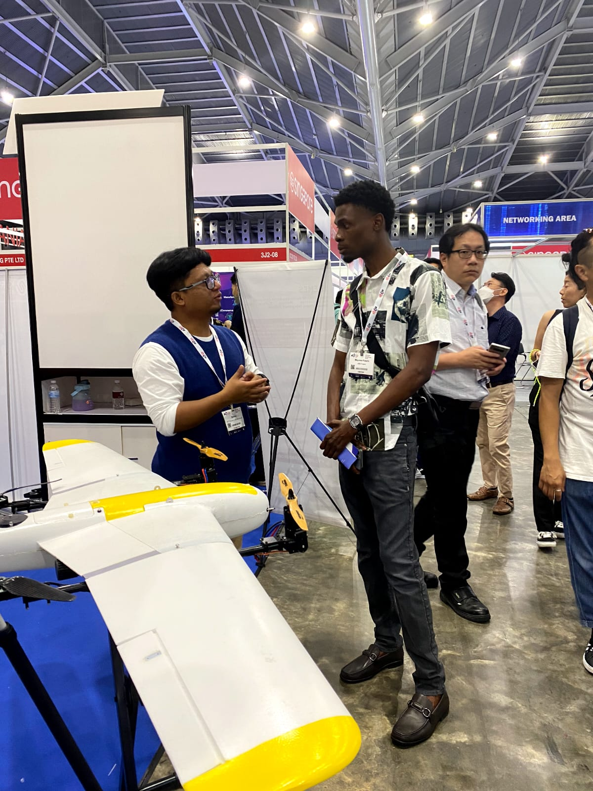
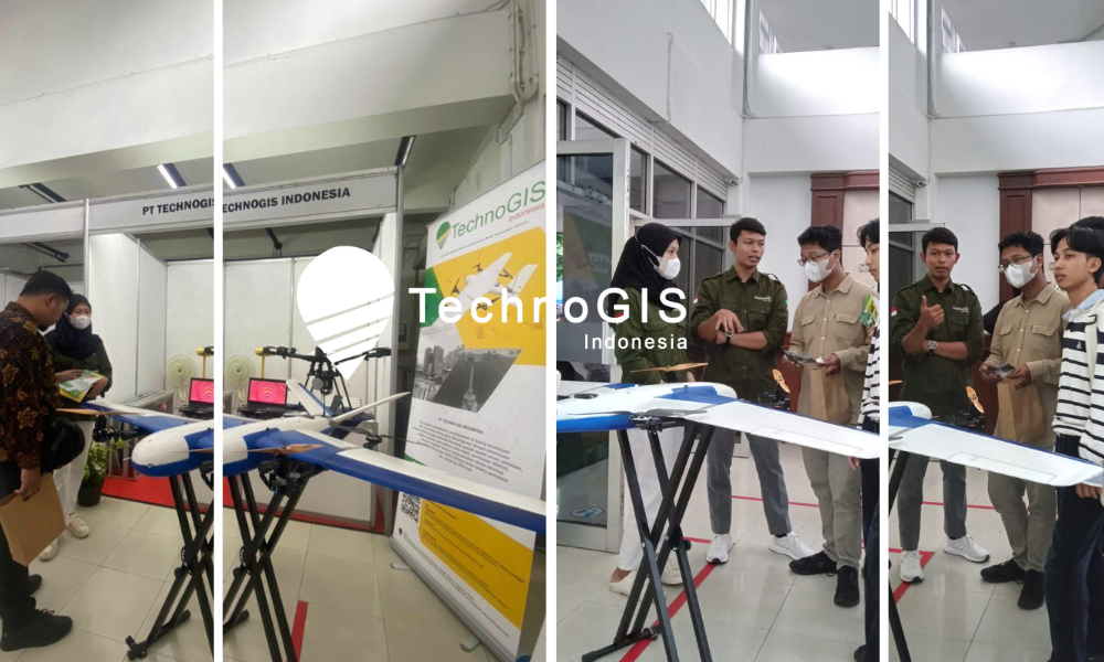
With an illustrious career spanning decades in the technology and innovation landscape, Mr. Sarono brings a wealth of experience and expertise to his new role. As the former CEO of TechnoGIS, a renowned technology solutions provider, he has consistently demonstrated visionary leadership and a commitment to driving impactful change through cutting-edge technologies. In his capacity as the Research and Innovation Lead at Starfindo, Mr. Sarono will focus on pioneering initiatives that bridge the gap between academia, industry, and society. Among the flagship programs under his leadership are:
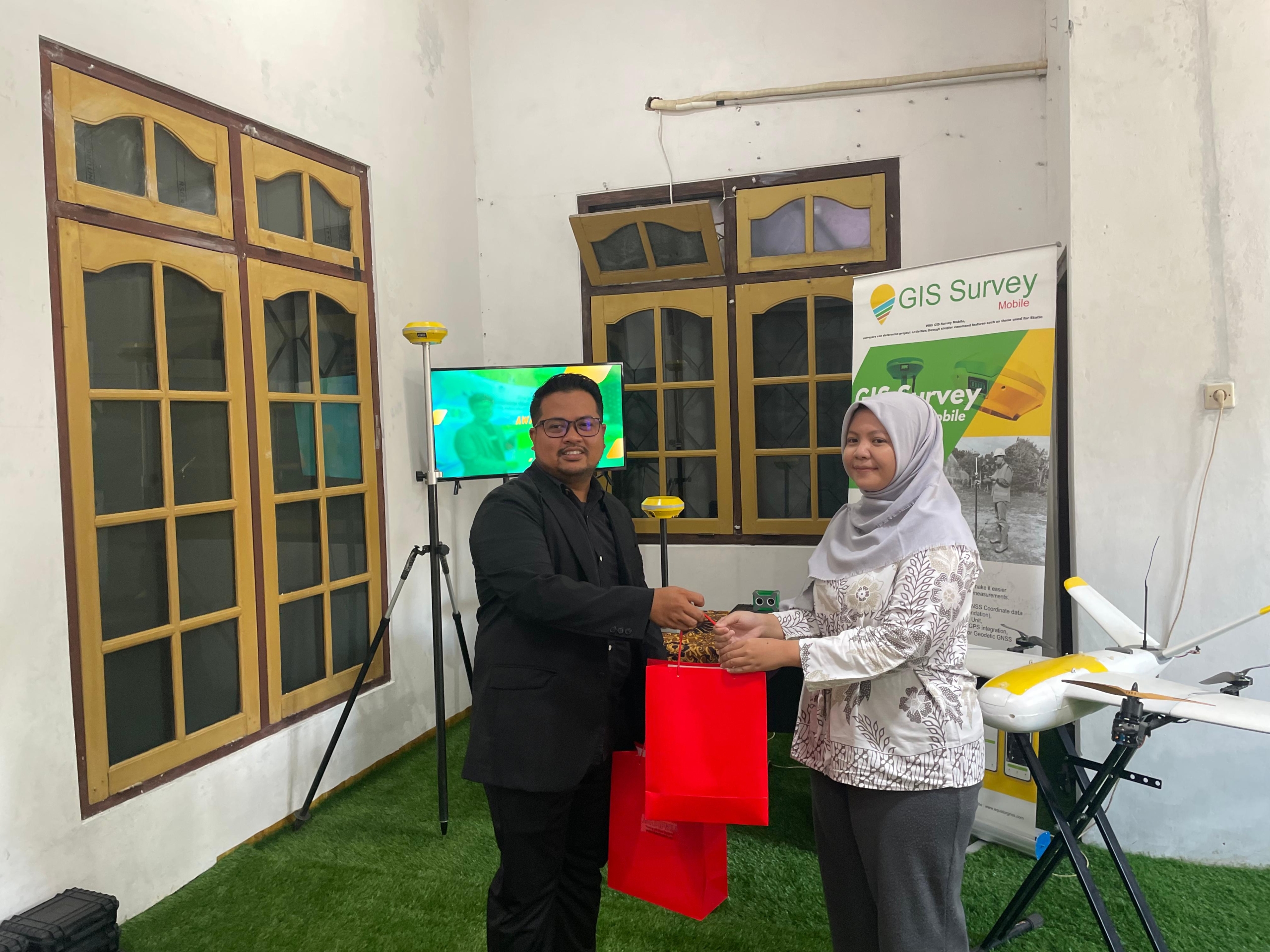
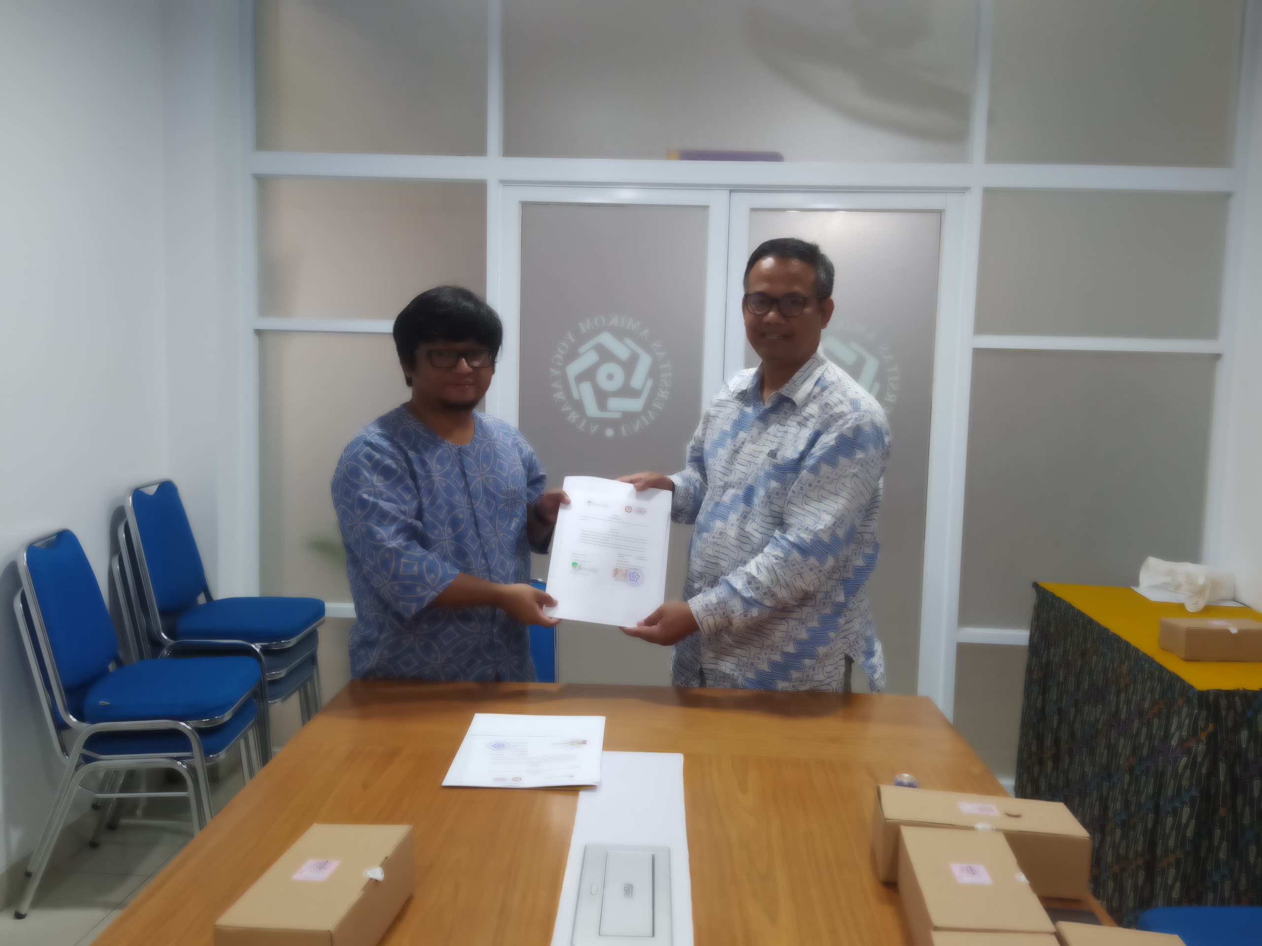
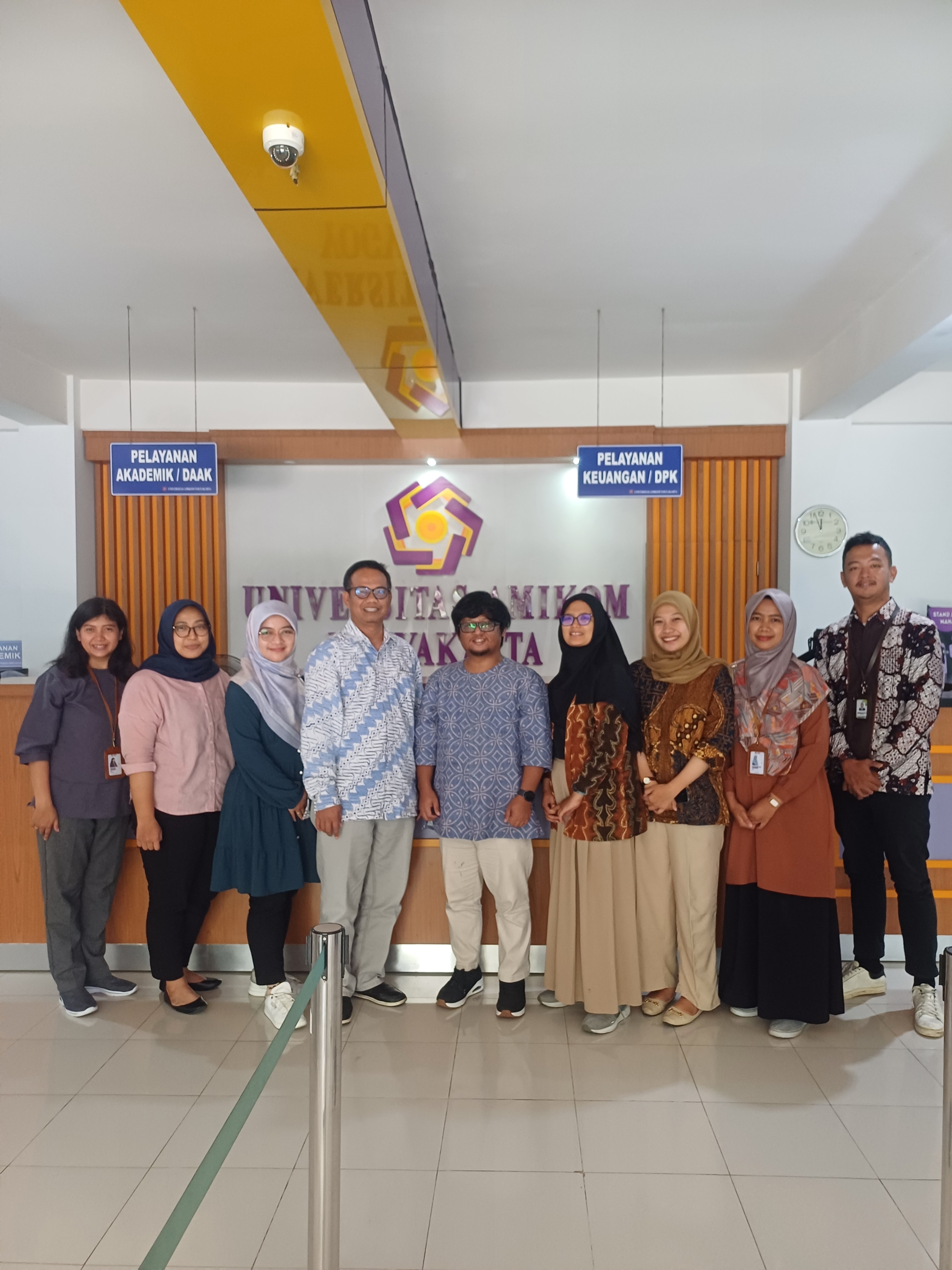
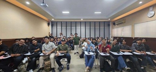
1. Starfindo Goes to Campus: This groundbreaking initiative aims to connect industry professionals with students and faculty members at leading academic institutions across Indonesia. By organizing workshops, seminars, and collaborative projects, Starfindo seeks to foster a culture of innovation and entrepreneurship among the next generation of talent.
2. Starfindo Research Collaboration: Leveraging the collective expertise of industry leaders, academic researchers, and technology innovators, this program will facilitate interdisciplinary research collaborations. By identifying key challenges facing the industry and harnessing the power of collaboration, Starfindo aims to drive breakthrough innovations that address real-world problems.
3. Starfindo Risearch for Society: Recognizing the importance of technology-driven solutions in addressing societal challenges, this initiative will focus on leveraging research and innovation to create positive social impact. From healthcare and education to environmental sustainability, Starfindo is committed to using its resources to improve the lives of people across Indonesia.
Commenting on his new role, Mr. Sarono expressed his enthusiasm for the opportunity to drive meaningful change within the Indonesian industrial landscape. He stated, “I am honored to join Starfindo as the Research and Innovation Lead and look forward to collaborating with industry stakeholders, academic institutions, and community partners to drive innovation and foster sustainable development. Together, we have the opportunity to unlock new possibilities and create a brighter future for Indonesia.”
Mr. Sarono’s appointment comes at a pivotal moment for Starfindo as the startup continues to expand its presence and influence within the Indonesian innovation ecosystem. With his visionary leadership and track record of success, Mr. Sarono is poised to lead Starfindo to new heights of excellence and impact.
About Starfindo:
Starfindo is a pioneering startup dedicated to driving innovation and advancement within the Indonesian industrial sector. Through strategic partnerships, collaborative research initiatives, and impactful programs, Starfindo aims to catalyze positive change and foster sustainable development in Indonesia.