 https://www.technogis.co.id/wp-content/uploads/2026/05/193.jpg
1080
1920
Bintang Kejora
https://www.technogis.co.id/wp-content/uploads/2026/06/Logo-TechnoGIS-id-web-indonesia.png
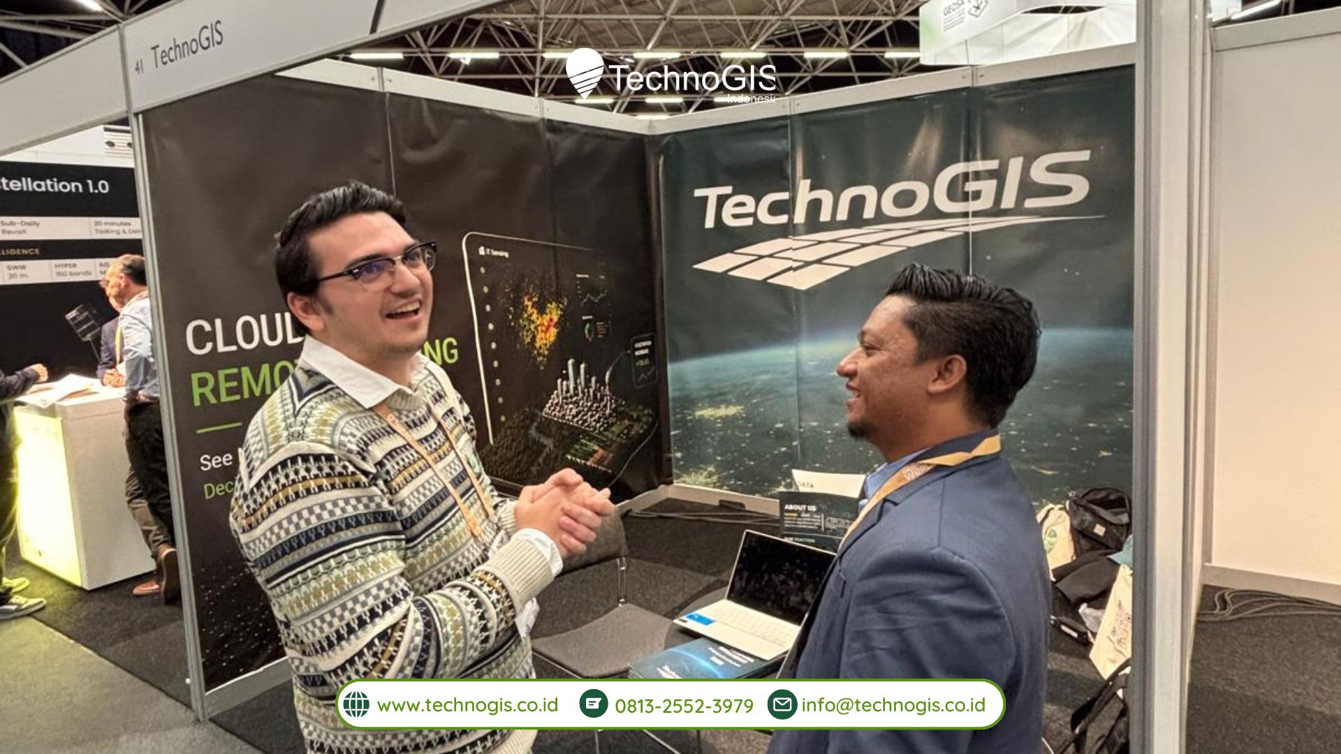
Bintang Kejora2026-05-11 09:03:142026-05-11 09:04:11TechnoGIS Showcases Smart Geospatial Solutions at GWF 2026
https://www.technogis.co.id/wp-content/uploads/2026/05/193.jpg
1080
1920
Bintang Kejora
https://www.technogis.co.id/wp-content/uploads/2026/06/Logo-TechnoGIS-id-web-indonesia.png
Bintang Kejora2026-05-11 09:03:142026-05-11 09:04:11TechnoGIS Showcases Smart Geospatial Solutions at GWF 2026 https://www.technogis.co.id/wp-content/uploads/2026/04/Foto-Press-Release-Bisdev-Produk-17.jpg
1080
1920
Bintang Kejora
https://www.technogis.co.id/wp-content/uploads/2026/06/Logo-TechnoGIS-id-web-indonesia.png
Bintang Kejora2026-04-10 11:11:582026-04-10 12:53:07TechnoGIS Strengthens Global Partnerships at GeoConnect Asia 2026 Through Strategic MoU Signings
https://www.technogis.co.id/wp-content/uploads/2026/04/Foto-Press-Release-Bisdev-Produk-17.jpg
1080
1920
Bintang Kejora
https://www.technogis.co.id/wp-content/uploads/2026/06/Logo-TechnoGIS-id-web-indonesia.png
Bintang Kejora2026-04-10 11:11:582026-04-10 12:53:07TechnoGIS Strengthens Global Partnerships at GeoConnect Asia 2026 Through Strategic MoU Signings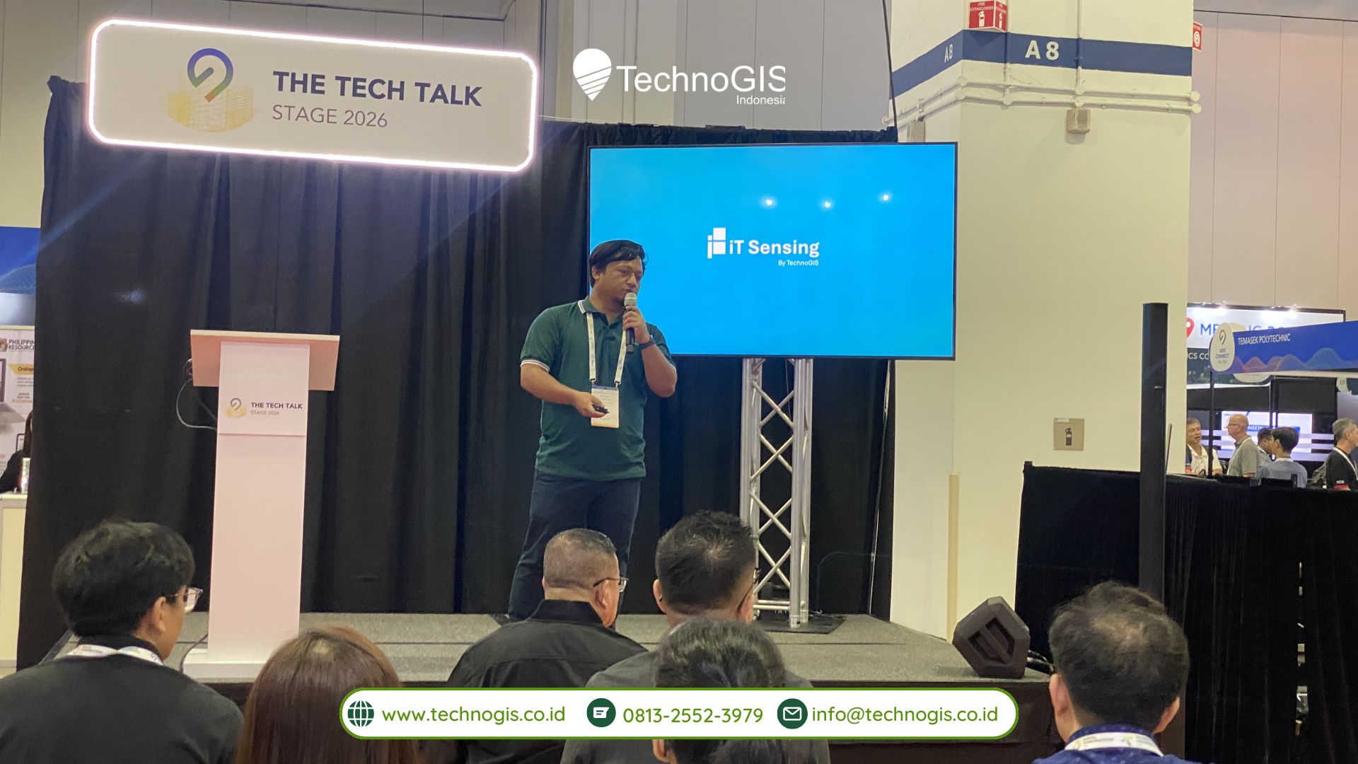 https://www.technogis.co.id/wp-content/uploads/2026/04/Foto-Press-Release-Bisdev-Produk-15.jpg
1080
1920
Bintang Kejora
https://www.technogis.co.id/wp-content/uploads/2026/06/Logo-TechnoGIS-id-web-indonesia.png
Bintang Kejora2026-04-10 11:04:232026-04-10 11:04:23TechnoGIS Highlights Thought Leadership at GeoConnect Asia 2026 Through Tech Talk Session
https://www.technogis.co.id/wp-content/uploads/2026/04/Foto-Press-Release-Bisdev-Produk-15.jpg
1080
1920
Bintang Kejora
https://www.technogis.co.id/wp-content/uploads/2026/06/Logo-TechnoGIS-id-web-indonesia.png
Bintang Kejora2026-04-10 11:04:232026-04-10 11:04:23TechnoGIS Highlights Thought Leadership at GeoConnect Asia 2026 Through Tech Talk Session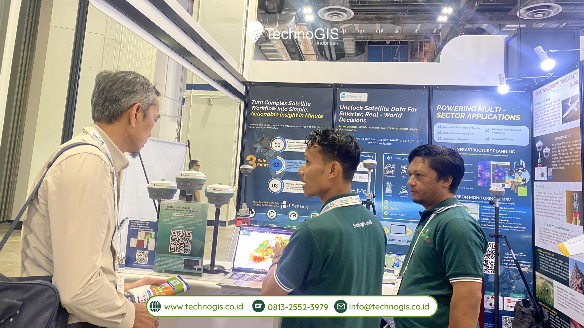 https://www.technogis.co.id/wp-content/uploads/2026/04/Foto-Press-Release-Bisdev-Produk-13.jpg
1080
1920
Bintang Kejora
https://www.technogis.co.id/wp-content/uploads/2026/06/Logo-TechnoGIS-id-web-indonesia.png
Bintang Kejora2026-04-10 10:51:142026-04-10 10:51:14TechnoGIS Indonesia Showcases Geo-AI Innovation at GeoConnect Asia 2026, Singapore
https://www.technogis.co.id/wp-content/uploads/2026/04/Foto-Press-Release-Bisdev-Produk-13.jpg
1080
1920
Bintang Kejora
https://www.technogis.co.id/wp-content/uploads/2026/06/Logo-TechnoGIS-id-web-indonesia.png
Bintang Kejora2026-04-10 10:51:142026-04-10 10:51:14TechnoGIS Indonesia Showcases Geo-AI Innovation at GeoConnect Asia 2026, Singapore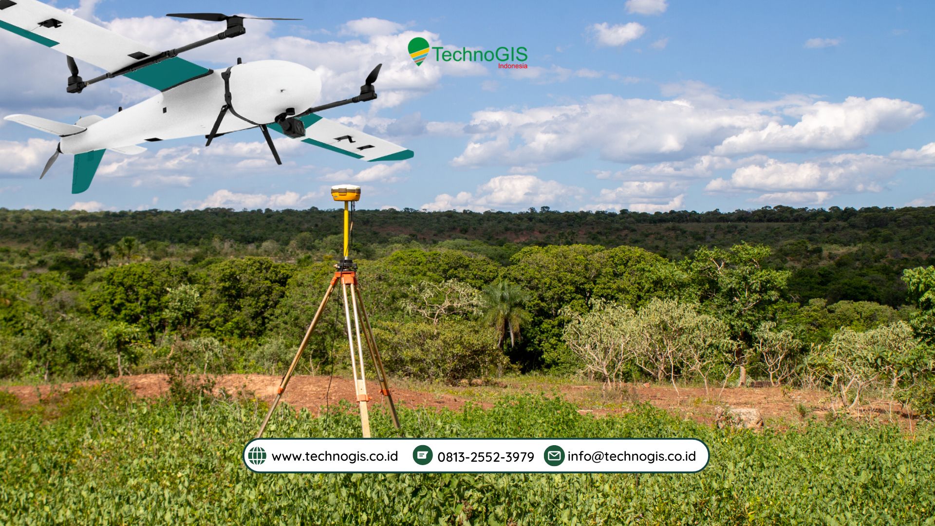 https://www.technogis.co.id/wp-content/uploads/2026/04/Cover-Artikel-31.jpg
1080
1920
Bintang Kejora
https://www.technogis.co.id/wp-content/uploads/2026/06/Logo-TechnoGIS-id-web-indonesia.png
Bintang Kejora2026-04-08 11:05:292026-04-08 15:40:55Kapan Memilih Drone VTOL: Panduan Profesional untuk Operasi Udara Modern
https://www.technogis.co.id/wp-content/uploads/2026/04/Cover-Artikel-31.jpg
1080
1920
Bintang Kejora
https://www.technogis.co.id/wp-content/uploads/2026/06/Logo-TechnoGIS-id-web-indonesia.png
Bintang Kejora2026-04-08 11:05:292026-04-08 15:40:55Kapan Memilih Drone VTOL: Panduan Profesional untuk Operasi Udara Modern https://www.technogis.co.id/wp-content/uploads/2026/04/Cover-Artikel-30.jpg
1080
1920
Bintang Kejora
https://www.technogis.co.id/wp-content/uploads/2026/06/Logo-TechnoGIS-id-web-indonesia.png
Bintang Kejora2026-04-08 10:06:292026-04-08 10:06:29Kelebihan dan Kekurangan Menggunakan Drone Nivo VTOL untuk Aplikasi Profesional
https://www.technogis.co.id/wp-content/uploads/2026/05/193.jpg
1080
1920
Bintang Kejora
https://www.technogis.co.id/wp-content/uploads/2026/06/Logo-TechnoGIS-id-web-indonesia.png
Bintang Kejora2026-05-11 09:03:142026-05-11 09:04:11TechnoGIS Showcases Smart Geospatial Solutions at GWF 2026
https://www.technogis.co.id/wp-content/uploads/2026/04/Foto-Press-Release-Bisdev-Produk-17.jpg
1080
1920
Bintang Kejora
https://www.technogis.co.id/wp-content/uploads/2026/06/Logo-TechnoGIS-id-web-indonesia.png
Bintang Kejora2026-04-10 11:11:582026-04-10 12:53:07TechnoGIS Strengthens Global Partnerships at GeoConnect Asia 2026 Through Strategic MoU Signings
https://www.technogis.co.id/wp-content/uploads/2026/04/Foto-Press-Release-Bisdev-Produk-15.jpg
1080
1920
Bintang Kejora
https://www.technogis.co.id/wp-content/uploads/2026/06/Logo-TechnoGIS-id-web-indonesia.png
Bintang Kejora2026-04-10 11:04:232026-04-10 11:04:23TechnoGIS Highlights Thought Leadership at GeoConnect Asia 2026 Through Tech Talk Session
https://www.technogis.co.id/wp-content/uploads/2026/04/Foto-Press-Release-Bisdev-Produk-13.jpg
1080
1920
Bintang Kejora
https://www.technogis.co.id/wp-content/uploads/2026/06/Logo-TechnoGIS-id-web-indonesia.png
Bintang Kejora2026-04-10 10:51:142026-04-10 10:51:14TechnoGIS Indonesia Showcases Geo-AI Innovation at GeoConnect Asia 2026, Singapore
https://www.technogis.co.id/wp-content/uploads/2026/04/Cover-Artikel-31.jpg
1080
1920
Bintang Kejora
https://www.technogis.co.id/wp-content/uploads/2026/06/Logo-TechnoGIS-id-web-indonesia.png
Bintang Kejora2026-04-08 11:05:292026-04-08 15:40:55Kapan Memilih Drone VTOL: Panduan Profesional untuk Operasi Udara Modern
https://www.technogis.co.id/wp-content/uploads/2026/04/Cover-Artikel-30.jpg
1080
1920
Bintang Kejora
https://www.technogis.co.id/wp-content/uploads/2026/06/Logo-TechnoGIS-id-web-indonesia.png
Bintang Kejora2026-04-08 10:06:292026-04-08 10:06:29Kelebihan dan Kekurangan Menggunakan Drone Nivo VTOL untuk Aplikasi Profesional
https://www.technogis.co.id/wp-content/uploads/2026/05/193.jpg
1080
1920
Bintang Kejora
https://www.technogis.co.id/wp-content/uploads/2026/06/Logo-TechnoGIS-id-web-indonesia.png
Bintang Kejora2026-05-11 09:03:142026-05-11 09:04:11TechnoGIS Showcases Smart Geospatial Solutions at GWF 2026
https://www.technogis.co.id/wp-content/uploads/2026/04/Foto-Press-Release-Bisdev-Produk-17.jpg
1080
1920
Bintang Kejora
https://www.technogis.co.id/wp-content/uploads/2026/06/Logo-TechnoGIS-id-web-indonesia.png
Bintang Kejora2026-04-10 11:11:582026-04-10 12:53:07TechnoGIS Strengthens Global Partnerships at GeoConnect Asia 2026 Through Strategic MoU Signings
https://www.technogis.co.id/wp-content/uploads/2026/04/Foto-Press-Release-Bisdev-Produk-15.jpg
1080
1920
Bintang Kejora
https://www.technogis.co.id/wp-content/uploads/2026/06/Logo-TechnoGIS-id-web-indonesia.png
Bintang Kejora2026-04-10 11:04:232026-04-10 11:04:23TechnoGIS Highlights Thought Leadership at GeoConnect Asia 2026 Through Tech Talk Session
https://www.technogis.co.id/wp-content/uploads/2026/04/Foto-Press-Release-Bisdev-Produk-13.jpg
1080
1920
Bintang Kejora
https://www.technogis.co.id/wp-content/uploads/2026/06/Logo-TechnoGIS-id-web-indonesia.png
Bintang Kejora2026-04-10 10:51:142026-04-10 10:51:14TechnoGIS Indonesia Showcases Geo-AI Innovation at GeoConnect Asia 2026, Singapore
https://www.technogis.co.id/wp-content/uploads/2026/04/Cover-Artikel-31.jpg
1080
1920
Bintang Kejora
https://www.technogis.co.id/wp-content/uploads/2026/06/Logo-TechnoGIS-id-web-indonesia.png
Bintang Kejora2026-04-08 11:05:292026-04-08 15:40:55Kapan Memilih Drone VTOL: Panduan Profesional untuk Operasi Udara Modern
https://www.technogis.co.id/wp-content/uploads/2026/04/Cover-Artikel-30.jpg
1080
1920
Bintang Kejora
https://www.technogis.co.id/wp-content/uploads/2026/06/Logo-TechnoGIS-id-web-indonesia.png
Bintang Kejora2026-04-08 10:06:292026-04-08 10:06:29Kelebihan dan Kekurangan Menggunakan Drone Nivo VTOL untuk Aplikasi Profesional