Showcasing Geospatial Innovation: TechnoGIS Indonesia at the 2024 Manufacturing World Expo in Osaka – A Step Towards Global Collaboration and Sustainable Development

Showcasing Geospatial Innovation: TechnoGIS Indonesia at the 2024 Manufacturing World Expo in Osaka – A Step Towards Global Collaboration and Sustainable Development – TechnoGIS Indonesia once again achieved a significant milestone by participating in the Manufacturing World Expo 2024 in Osaka, Japan. At this prestigious event, TechnoGIS proudly showcased its diverse geospatial innovations, designed not only to support industrial needs but also to contribute to sustainable development globally. The close collaboration with Indonesia’s Ministry of Industry demonstrates TechnoGIS’s commitment to advancing national technology to compete on the international stage.

During the expo, TechnoGIS presented a range of high-tech products, highlighting state-of-the-art geospatial technology solutions tailored to meet global market demands. The participation served as a strategic opportunity for TechnoGIS to introduce its advanced products and services, including drone-based mapping, LiDAR surveys, and environmental monitoring. These offerings drew remarkable interest from expo visitors, including top technology firms, academics, and government representatives.
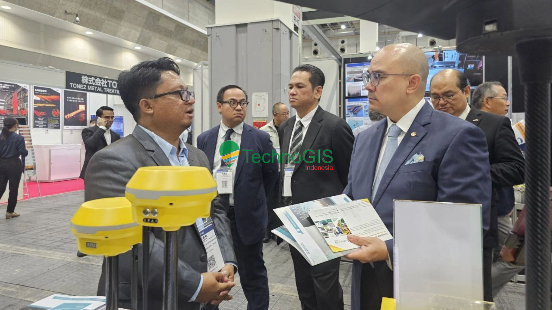
In addition, Mr. Sarono, representing TechnoGIS, had the honor of being one of the speakers at the Indonesia-Japan Business Forum held in Odaka. During his session, he shared TechnoGIS’s insights on global issues, emphasizing the importance of innovation in the industrial sector, environmental challenges, and the role of geospatial technology in achieving the Sustainable Development Goals (SDGs). He highlighted the importance of integrating geospatial technology with sustainability to create responsible and effective solutions for environmental challenges.
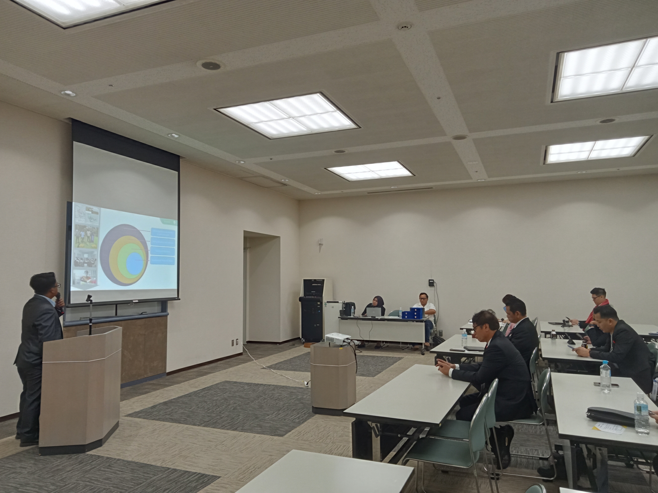
Mr. Sarono expressed his gratitude and pride for the opportunity, especially in exchanging ideas with experts and industry leaders from Japan and other countries. He hopes that this event will serve as a stepping stone for building broader networks and strengthening cross-country collaboration. According to him, through strong international partnerships, TechnoGIS can solidify its position as a key player in the geospatial technology field in Asia, while also supporting Indonesia’s advancement toward a more competitive technological capacity.
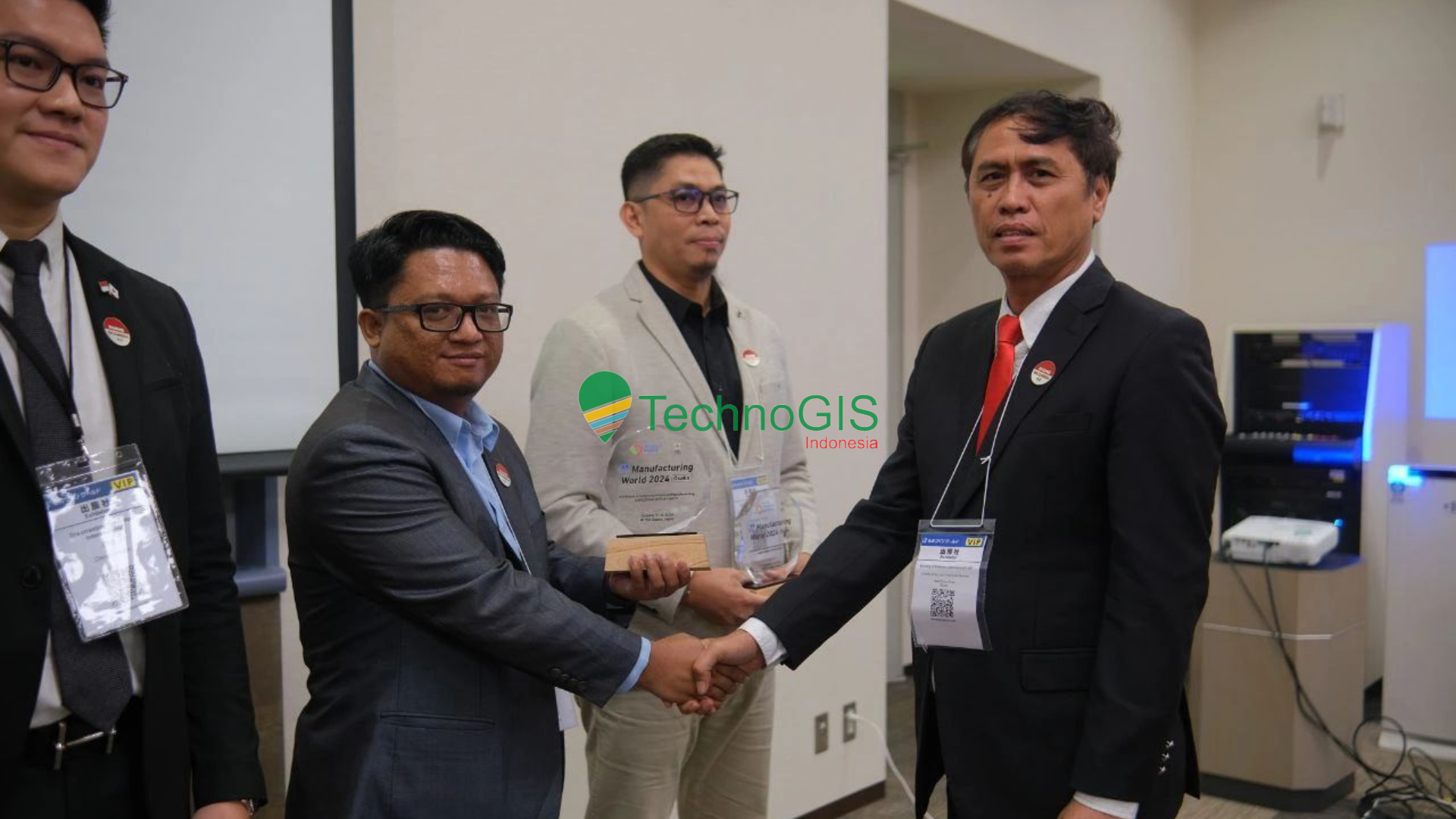
Mr. Sarono also shared his hope that the relationships established at this expo will not just be brief encounters, but will evolve into long-term collaborations that bring mutual benefits. He envisions these connections opening doors for TechnoGIS to engage in major projects in Japan and beyond, whether through technology transfer, joint research, or geospatial technology projects that directly address societal needs. TechnoGIS remains committed to advancing technological innovations that support environmental sustainability and empower communities through reliable and competitive geospatial solutions.
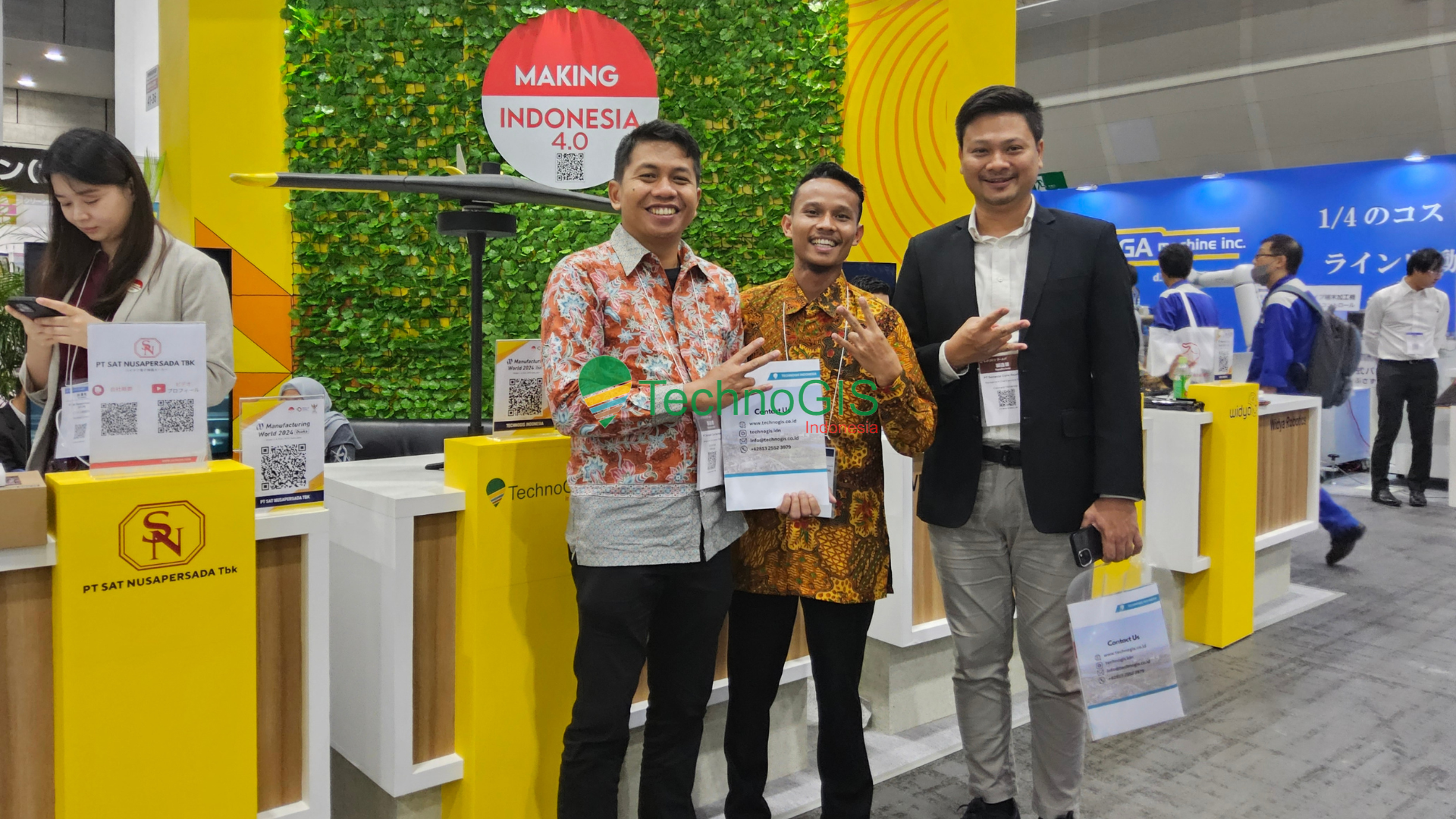
Thus, TechnoGIS’s participation in the Manufacturing World Expo 2024 in Osaka not only reflects the company’s capabilities in technological innovation but also serves as tangible proof of Indonesia’s contribution to the global industry. Mr. Sarono concluded with optimism, expressing that TechnoGIS will continue its efforts in innovation, not only to strengthen its presence on the international stage but also to make a positive impact on sustainable development worldwide.
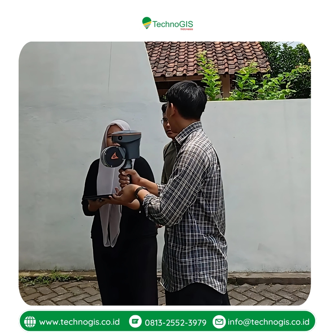
 

Kunjungan Partner Produk CHCNAV oleh Distributor Resmi di Indonesia, PT Smartech

Kunjungan Strategis untuk Memperkuat Kerja Sama
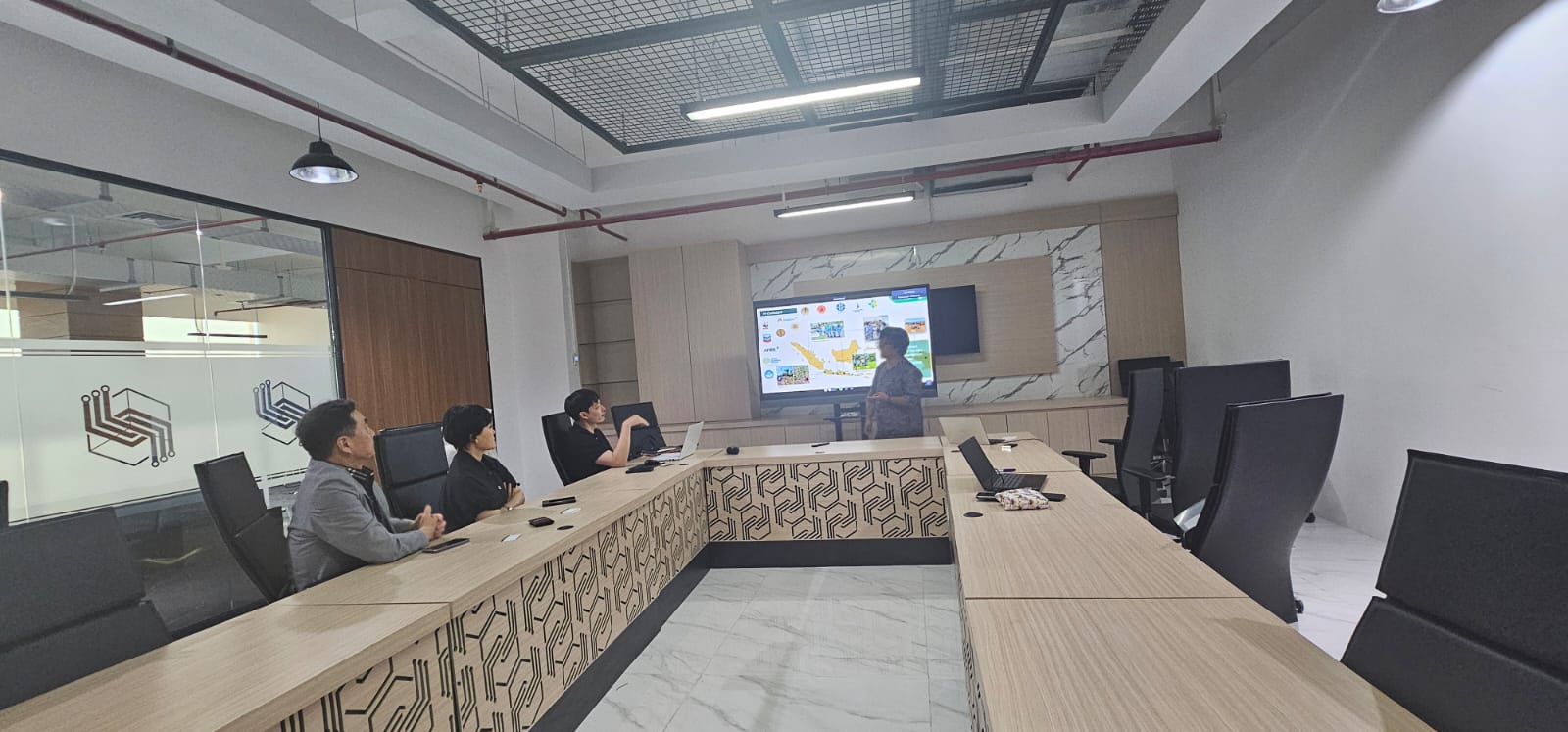
Pada tanggal 25 September 2024, PT TechnoGIS Indonesia menerima kunjungan dari PT Smartech, distributor resmi produk CHCNAV di Indonesia. Kunjungan yang berlangsung di kantor PT TechnoGIS Indonesia ini bertujuan untuk memperkuat hubungan kerja sama antara kedua perusahaan, serta untuk mengeksplorasi peluang dan inovasi baru dalam industri pemetaan dan survei. Pertemuan ini menjadi momen penting dalam upaya kedua perusahaan untuk menghadirkan teknologi terkini di bidang geospasial, guna memenuhi kebutuhan pasar di Indonesia yang terus berkembang.

Perkenalan Teknologi SLAM dari CHCNAV
Dalam kunjungan tersebut, PT Smartech memperkenalkan teknologi terbaru dari CHCNAV, yaitu sistem SLAM (Simultaneous Localization and Mapping). Teknologi SLAM ini adalah solusi canggih yang memungkinkan pemetaan dan survei di lingkungan yang kompleks dan sulit dijangkau dengan metode konvensional. Produk SLAM dari CHCNAV ini dirancang untuk memberikan efisiensi tinggi dalam proses pengumpulan data geospasial dengan kecepatan dan akurasi yang maksimal. TechnoGIS Indonesia melihat potensi besar dari teknologi ini untuk berbagai aplikasi seperti pemetaan dalam ruang tertutup, area perkotaan padat, hingga survei di kawasan industri.

Komitmen PT TechnoGIS dalam Menyediakan Produk CHCNAV
Dalam kesempatan tersebut, PT TechnoGIS Indonesia secara resmi mengumumkan bahwa mereka kini menjadi salah satu perusahaan yang menyediakan produk-produk CHCNAV di Indonesia. Komitmen ini merupakan langkah nyata TechnoGIS untuk memperluas portofolio produk geospasial dan memberikan solusi yang lebih beragam bagi para pelanggan. Dengan dukungan penuh dari PT Smartech sebagai mitra distributor resmi, TechnoGIS Indonesia siap membantu berbagai kebutuhan survei dan pemetaan di seluruh wilayah Indonesia. Hal ini menunjukkan komitmen TechnoGIS dalam memberikan layanan dan produk terbaik kepada para pelanggannya.

Menghubungi TechnoGIS untuk Solusi Pemetaan Terkini
PT TechnoGIS Indonesia kini membuka akses bagi pelanggan yang membutuhkan produk-produk CHCNAV untuk mendukung proyek pemetaan dan survei mereka. Dengan tim yang berpengalaman dan didukung teknologi terkini, TechnoGIS berkomitmen memberikan solusi yang efisien dan terpercaya. Bagi pihak yang memerlukan informasi lebih lanjut atau tertarik untuk menggunakan produk CHCNAV, mereka dapat langsung menghubungi PT TechnoGIS Indonesia. Kerja sama ini diharapkan dapat memperluas aksesibilitas teknologi pemetaan canggih, sehingga lebih banyak proyek yang bisa memanfaatkan teknologi SLAM dan produk geospasial lainnya.

Mendorong Inovasi di Bidang Geospasial Indonesia
Kerja sama antara PT Smartech dan PT TechnoGIS Indonesia dalam memasarkan produk CHCNAV ini diharapkan dapat mendorong inovasi di bidang geospasial di Indonesia. Dengan semakin berkembangnya kebutuhan akan data geospasial yang akurat dan efisien, teknologi seperti SLAM dapat memainkan peran penting dalam mempercepat proses pengumpulan data di berbagai sektor, seperti konstruksi, perkebunan, pertambangan, dan tata ruang. PT TechnoGIS berharap teknologi ini dapat memberikan kontribusi positif bagi perkembangan industri dan pembangunan infrastruktur di Indonesia.

Dengan adanya perkenalan teknologi dan kerja sama ini, PT TechnoGIS Indonesia optimis bahwa solusi pemetaan yang inovatif dari CHCNAV dapat meningkatkan efisiensi dan akurasi pekerjaan di berbagai sektor industri. Kunjungan ini menjadi langkah awal yang penting untuk menjadikan teknologi geospasial semakin terjangkau dan aplikatif di berbagai lapisan masyarakat.

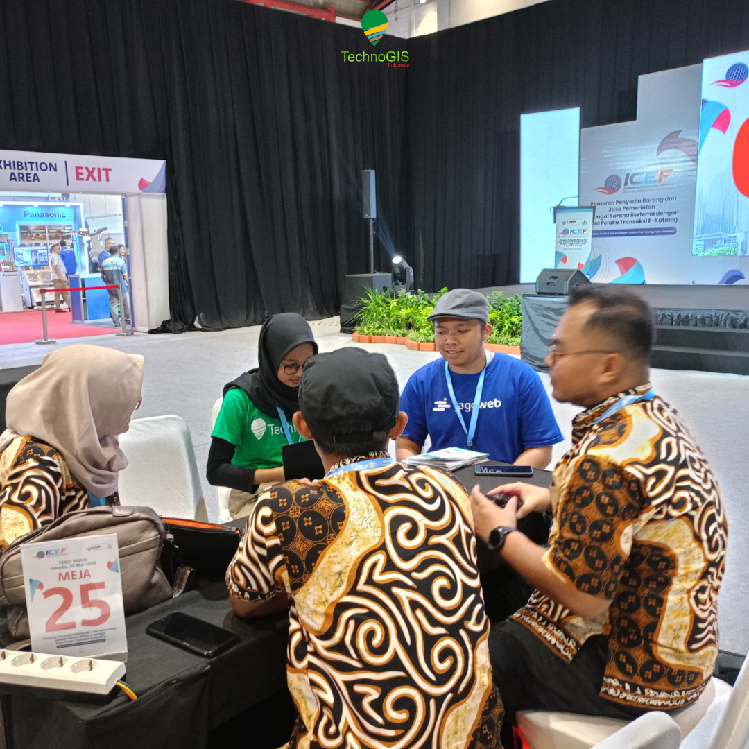
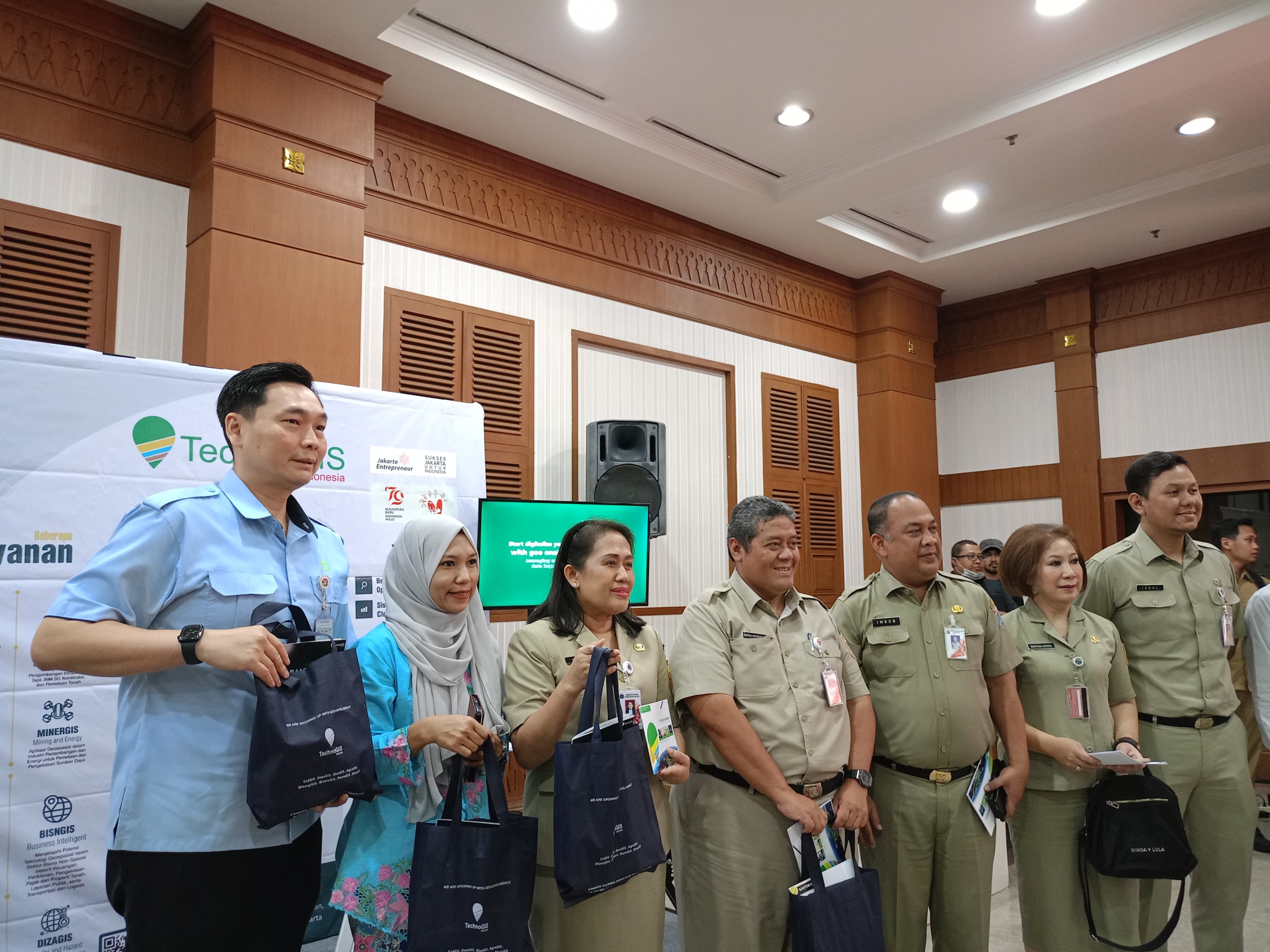
Teknologi Geospasial PT Techno GIS Indonesia Tampil di Business Matching ke-16 Dinas PPKUKM DKI Jakarta


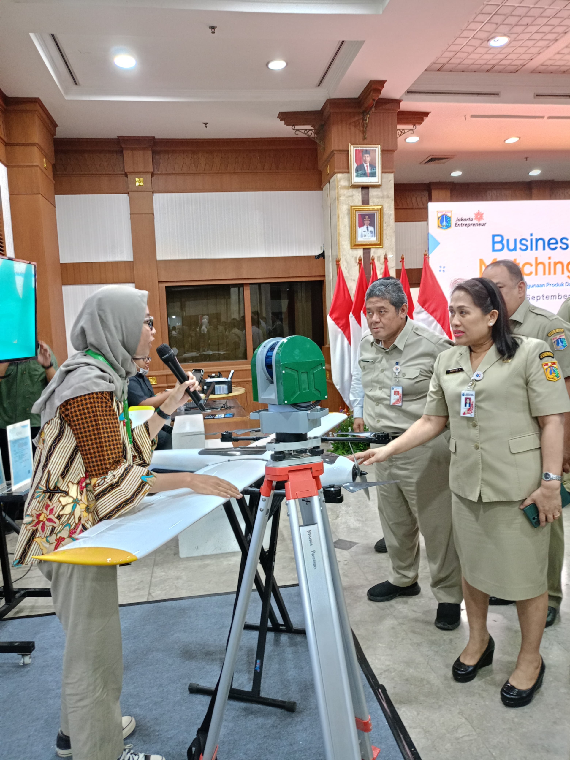
Pembukaan Bisnis Matching ke-16 Dinas PPKUKM DKI Jakarta: PT Techno GIS Indonesia Berperan sebagai Exhibitor Perusahaan Industri Dalam Negeri – Dinas Perindustrian, Perdagangan, Koperasi, Usaha Kecil dan Menengah (PPKUKM) DKI Jakarta kembali menggelar acara Business Matching yang ke-16 sebagai bagian dari upaya memperkuat kolaborasi antara pelaku usaha kecil dan menengah (UKM) dengan sektor industri serta para pemangku kepentingan lainnya. Acara ini bertujuan mendorong pertumbuhan ekonomi melalui penguatan rantai pasok dan pemasaran produk lokal yang inovatif.

Kegiatan ini diselenggarakan di Kantor Walikota Jakarta Barat, sebuah lokasi yang strategis dan menjadi pusat berbagai kegiatan perekonomian di wilayah Jakarta. Acara ini menjadi platform penting untuk mempertemukan pelaku usaha dengan industri guna membangun sinergi yang lebih kuat.

Salah satu perusahaan industri dalam negeri yang turut serta sebagai exhibitor adalah PT Techno GIS Indonesia. Sebagai perusahaan yang bergerak di bidang teknologi geospasial, PT Techno GIS Indonesia memainkan peran penting dalam menghadirkan solusi berbasis teknologi yang dapat mendukung berbagai sektor industri. Partisipasi PT Techno GIS Indonesia di Business Matching ini merupakan langkah strategis untuk memperluas jejaring bisnis dan mempromosikan produk serta jasa berbasis teknologi yang dimiliki perusahaan.

Selama acara, PT Techno GIS Indonesia menampilkan inovasi terbarunya di bidang teknologi geospasial yang memiliki potensi besar untuk mendukung pengembangan sektor UKM dan industri lainnya di Indonesia. Teknologi geospasial yang ditawarkan oleh PT Techno GIS Indonesia dapat membantu pelaku usaha dalam pengelolaan data spasial, pemetaan wilayah, hingga perencanaan wilayah yang lebih efisien dan terukur.

Acara Business Matching ini diharapkan tidak hanya membuka peluang bagi para peserta untuk bertukar informasi dan ide, tetapi juga mendorong terciptanya kerjasama bisnis yang lebih kuat antara sektor UKM, industri, serta lembaga pemerintah dan swasta lainnya. Dengan keterlibatan perusahaan-perusahaan seperti PT Techno GIS Indonesia, diharapkan industri dalam negeri dapat lebih berkembang dan berdaya saing di pasar global.

Pembukaan acara Business Matching ke-16 ini juga dihadiri oleh berbagai tokoh penting, termasuk pejabat pemerintah, perwakilan UKM, serta mitra bisnis dari dalam dan luar negeri. Program ini telah menjadi salah satu kegiatan unggulan Dinas PPKUKM DKI Jakarta dalam mendukung pertumbuhan ekonomi daerah dan nasional melalui penguatan sektor UKM serta pengembangan produk dan jasa inovatif dari industri dalam negeri.

PT TechnoGIS Indonesia Successfully Hosts Expo at ATxEnterprise InnovFest x Elevating Founders in Singapore

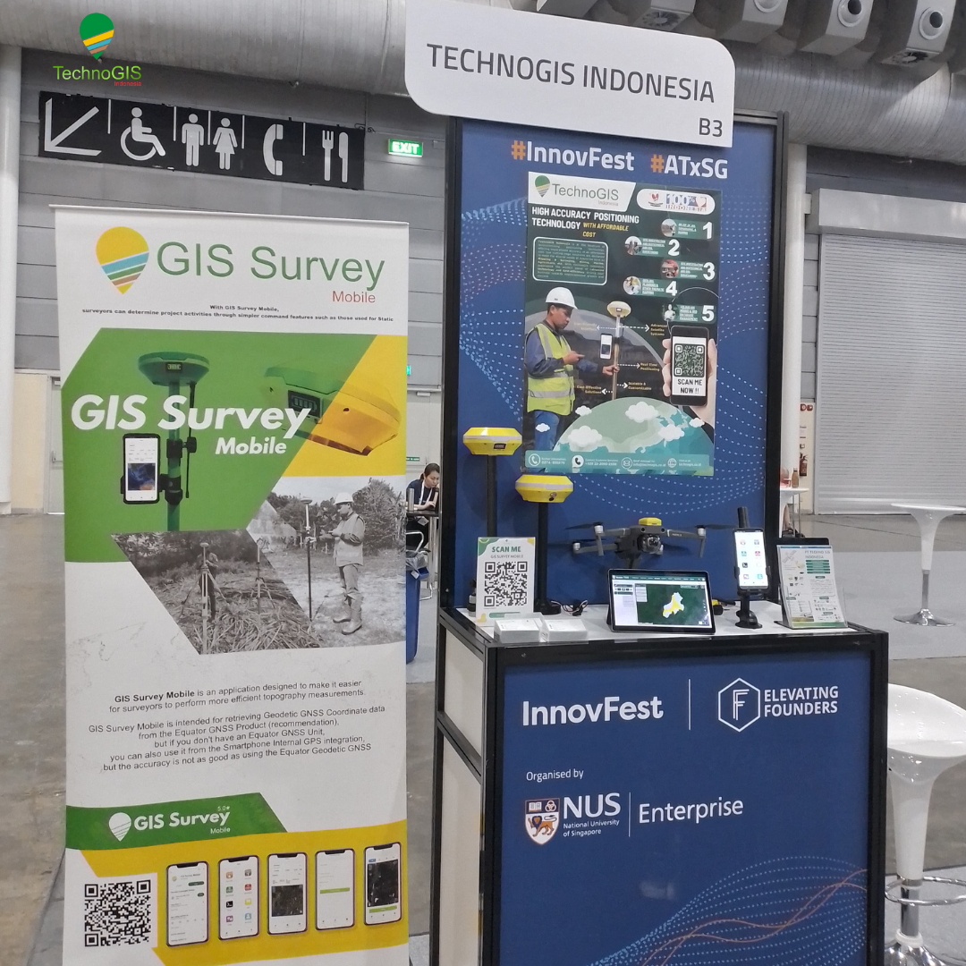
PT TechnoGIS Indonesia Successfully Hosts Expo at ATxEnterprise InnovFest x Elevating Founders in Singapore – PT TechnoGIS Indonesia proudly announces its successful participation in the prestigious AT x Enterprise InnovFest x Elevating Founders expo, held in Singapore from May 29 to 31, 2024. The event took place at 1 Expo Drive, Singapore, and attracted the attention of professionals and technology industry players from various countries.

Booth Highlights

At booth B23, PT TechnoGIS showcased a range of their latest innovations and premium services designed to enhance work efficiency across various sectors. Expo visitors had the opportunity to gain exclusive insights into TechnoGIS products, demonstrated directly by the company’s expert team.

Visitor Engagement

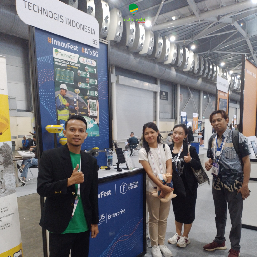
Throughout the three-day expo, PT TechnoGIS’s booth was consistently bustling with activity. Visitors expressed great enthusiasm for the advanced technologies on display, including devices and applications utilizing Geographic Information System (GIS) technology to maximize work productivity. The PT TechnoGIS team also provided interactive presentations and product demonstrations, offering in-depth explanations of the benefits and uses of their products.

Product Launch

A highlight of PT TechnoGIS’s participation in this event was the launch of their latest product, designed to improve operational efficiency and data management across various industries. This new product received a warm welcome and much appreciation from expo attendees, including industry leaders and investors present at the event.

Event Significance

InnovFest x Elevating Founders serves as a premier platform bringing together innovators, entrepreneurs, and investors to share ideas, collaborate, and network. PT TechnoGIS is honored to be part of this significant event and is committed to continuing to innovate to provide the best solutions for its customers.

Networking and Collaboration

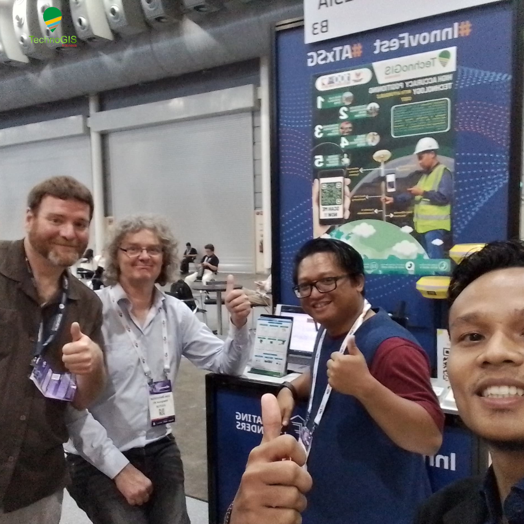
PT TechnoGIS’s participation in this expo also opened up new opportunities for business collaborations and expanding international networks. Many visitors expressed interest in partnering with PT TechnoGIS, recognizing the great potential of the technology and innovations offered.

Closing and Contact Information

For more information about PT TechnoGIS products and services, visitors can access the official website at www.technogis.co.id or contact their team via email at [email protected].

PT TechnoGIS extends its gratitude to all parties who participated and supported the success of this event. See you at the next event!


MoU Signing Between PT TechnoGIS Indonesia and BRIN: A Strategic Step Towards Technological Innovation in Indonesia

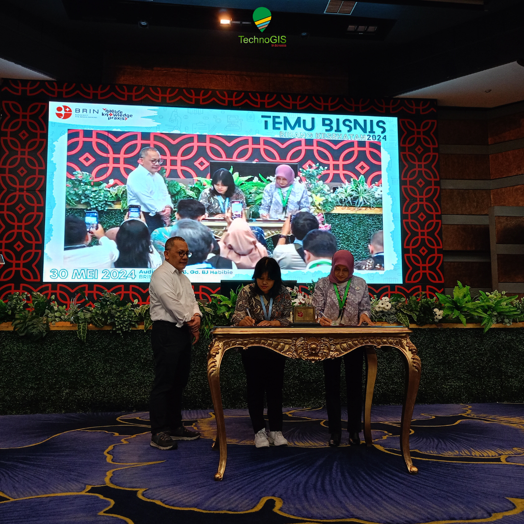
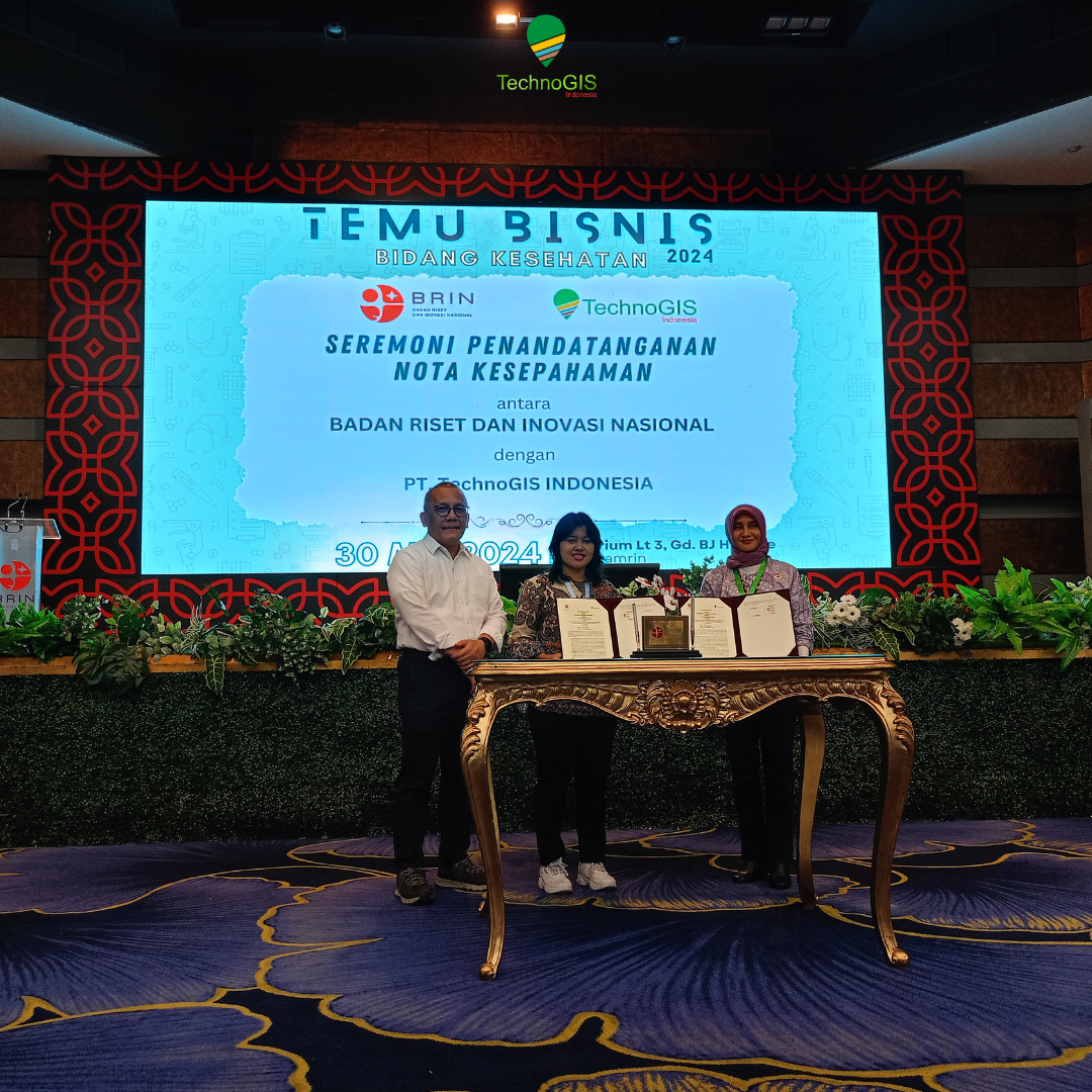
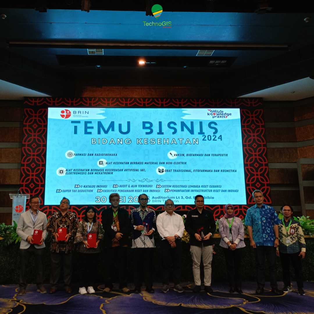
MoU Signing Between PT TechnoGIS Indonesia and BRIN: A Strategic Step Towards Technological Innovation in Indonesia – On May 30, 2024, the BJ Habibie Building witnessed a significant moment in the development of technology in Indonesia. PT TechnoGIS Indonesia and the National Research and Innovation Agency (BRIN) officially signed a Memorandum of Understanding (MoU), marking the beginning of a strategic collaboration between the two parties in the field of research and technological innovation.

Collaboration Background

This collaboration is driven by the shared vision of PT TechnoGIS Indonesia and BRIN to accelerate technological advancement in Indonesia through research and innovation. PT TechnoGIS Indonesia, as a leading technology company, is strongly committed to continuous innovation and the development of technology solutions relevant to local needs. Meanwhile, BRIN, as the national research agency, possesses extensive resources and expertise in various research fields.

Signing Ceremony

The MoU signing ceremony at the BJ Habibie Building was attended by executives from both organizations, as well as several important guests from the government, academia, and industry. The MoU was signed by the CEO of PT TechnoGIS Indonesia and the Chairman of BRIN, witnessed by the attendees.

MoU Agreement Details

The MoU encompasses various strategic areas of collaboration, including:

  • Technology Development: Cooperation in the research and development of new technologies applicable across different industrial sectors in Indonesia.
  • Technology Transfer: Exchange of knowledge and technology between PT Technogis Indonesia and BRIN to enhance national technological capabilities.
  • Education and Training: Programs for the education and training of Indonesian workforce to improve competencies and skills in the technology sector.
  • Joint Research Projects: Implementation of joint research projects focusing on innovative solutions to national issues.

Objectives and Benefits

This collaboration is expected to provide various benefits for both parties and the wider community, including:

  • Product Innovation: Development of new, more innovative technology products and solutions tailored to the Indonesian market’s needs.
  • Human Resource Development: Improving the quality of human resources through better education and training.
  • National Competitiveness: Enhancing Indonesia’s technological competitiveness on the global stage through continuous research and innovation.
  • Solutions for Local Challenges: Providing effective technological solutions for various challenges faced by Indonesia, from infrastructure to the environment.

Conclusion

The signing of the MoU between PT TechnoGIS Indonesia and BRIN is a strategic step towards a brighter technological future for Indonesia. This collaboration demonstrates a shared commitment to promoting research and innovation, which will not only strengthen Indonesia’s position in the field of technology but also make a tangible contribution to national development.

With this MoU, it is expected that a strong synergy will be created between the industrial and research sectors, paving the way for sustainable innovation and bringing benefits to the broader community. PT TechnoGIS Indonesia and BRIN are ready to move forward together towards a new era of advanced and sustainable technology.


Strategic Meeting between DJI and PT TechnoGIS Indonesia at PT Halo Indah Permai: Formulating Steps to Strengthen Sales in the Indonesian Market

Strategic Meeting between DJI and PT TechnoGIS Indonesia at PT Halo Indah Permai: Formulating Steps to Strengthen Sales in the Indonesian Market –

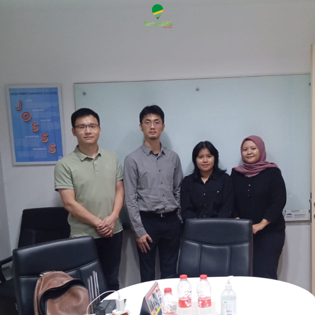
On May 31, 2024, an important meeting took place at the PT Halo Indah Permai office, involving two major players in the technology industry: DJI and PT TechnoGIS Indonesia. The discussion focused on marketing strategies and sales development of DJI products in Indonesia, with particular attention to the role of PT TechnoGIS Indonesia as the official reseller.

Background of the Collaboration

DJI, a global company renowned for its innovative drone and camera technologies, has appointed PT TechnoGIS Indonesia as its official reseller in Indonesia. As a strategic partner, PT TechnoGIS Indonesia is responsible for marketing and selling DJI products to local consumers, as well as providing quality after-sales service.

Meeting Agenda

The meeting was attended by executives from DJI, the management team of PT TechnoGIS Indonesia, and representatives from PT Halo Indah Permai. The main agenda items discussed included:

Marketing Strategy: In-depth discussion on effective marketing strategies to increase brand awareness of DJI in Indonesia. This included promotional campaigns, participation in technology exhibitions, and targeted digital marketing strategies for the Indonesian market.

Sales Development: Evaluation of the sales performance of DJI products over the past few months. PT TechnoGIS Indonesia presented sales data, market trends, and consumer feedback that could be used to improve future sales strategies.

Support and Training: Plans to provide further training to the PT TechnoGIS Indonesia sales team, ensuring they have a deep understanding of DJI products and can offer the best service to customers.

Product Innovation: Discussion about new DJI products soon to be launched and effective launch strategies in the Indonesian market. This included product demos and discussions on key features that would appeal to Indonesian consumers.

Meeting Outcomes

The meeting resulted in several important agreements between DJI and PT TechnoGIS Indonesia. Key points included:

Strengthening Promotional Campaigns: DJI and PT TechnoGIS Indonesia agreed to launch more aggressive and focused promotional campaigns, including using local influencers and social media to reach a wider audience.

Enhancing Customer Service: PT TechnoGIS Indonesia will enhance after-sales service by adding more service centers and providing intensive training for their technical team.

Event Collaboration: The two companies will collaborate on various technology events and exhibitions in Indonesia to introduce the latest DJI products and build direct relationships with consumers.

Feedback and Product Development: DJI will use feedback from PT TechnoGIS Indonesia and its customers to develop products that better meet local market needs.

Closing

The strategic meeting between DJI and PT TechnoGIS Indonesia at PT Halo Indah Permai on May 31, 2024, marks a significant step in strengthening the collaboration between the two companies. With updated marketing strategies and a focus on increasing sales, it is expected that DJI products will become more recognized and sought after in the Indonesian market. PT TechnoGIS Indonesia, as the official reseller, is ready to undertake this task and elevate DJI products to new heights in Indonesia.


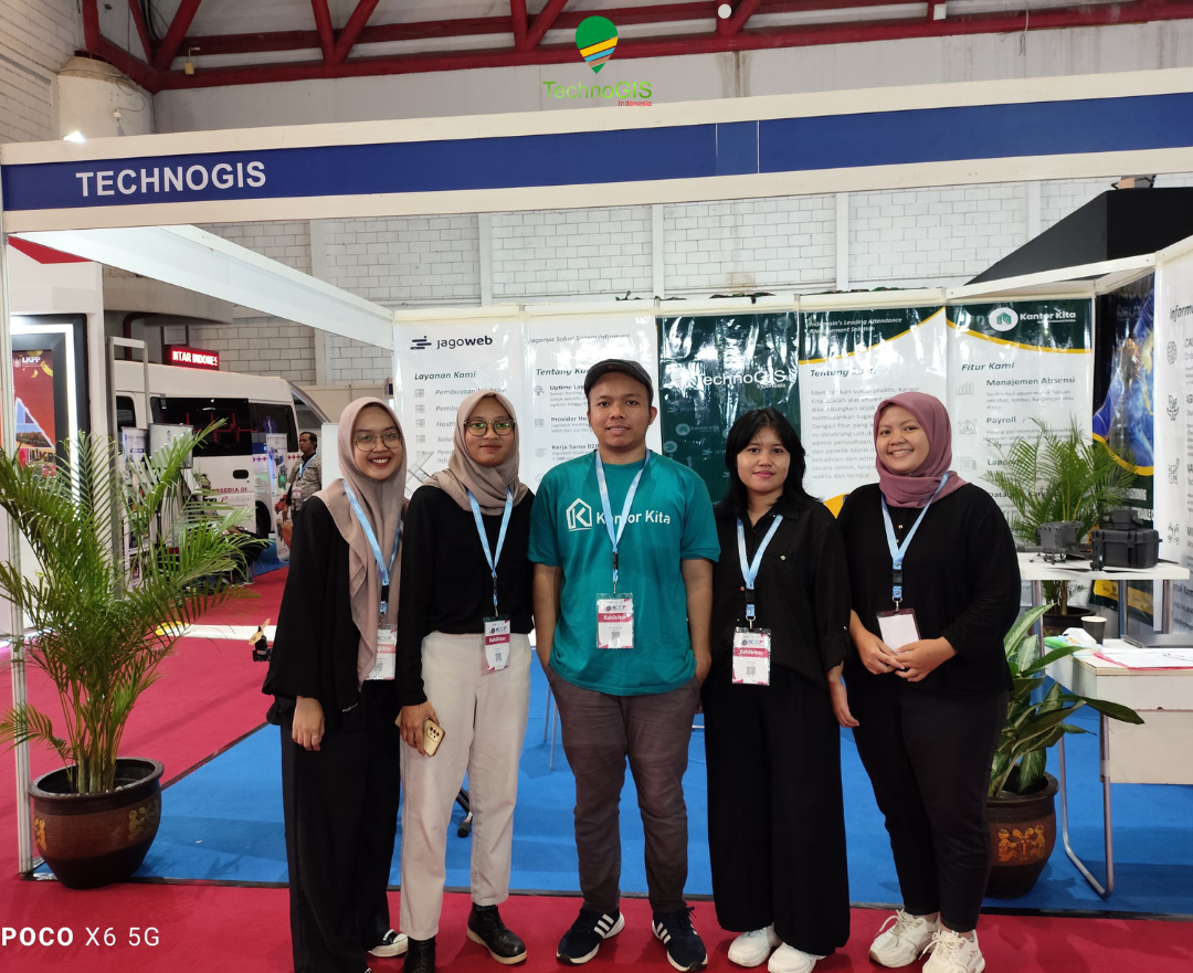
Indonesia Catalogue Expo and Forum 2024: Connecting Innovation and Business Opportunities at JIEXPO Kemayoran

Indonesia Catalogue Expo and Forum 2024: Connecting Innovation and Business Opportunities at JIEXPO Kemayoran – From May 29 to May 31, 2024, JIEXPO Kemayoran Jakarta became the focal point for industry players from various sectors with the hosting of the Indonesia Catalogue Expo and Forum 2024. This event served as a strategic platform for companies to market their latest products, services, and innovations, as well as to establish valuable business connections.

Event Highlights

The Indonesia Catalogue Expo and Forum 2024 gathered leading companies from both domestic and international markets, showcasing a wide range of cutting-edge products and technologies. The expo was complemented by discussion forums featuring industry experts, academics, and government representatives, who shared insights on the latest trends and developments in the world of business and technology.

PT Technogis Indonesia at Booth 14A

One of the standout participants was PT TechnoGIS Indonesia, occupying booth number 14A. Known as a key player in the field of technology and infrastructure solutions, PT TechnoGIS Indonesia took advantage of this opportunity to showcase their top products and services.

Latest Innovations and Technologies

At booth 14A, visitors could explore various latest innovations from PT TechnoGIS Indonesia. The company displayed state-of-the-art technology solutions designed to enhance the efficiency and quality of infrastructure in Indonesia. The showcased products included intelligent traffic management systems, solutions for sustainable infrastructure development, and information technology that supports effective project management.

Discussions and Networking

In addition to showcasing products, PT TechnoGIS Indonesia actively participated in various discussion sessions and networking events during the expo. Company representatives were ready to engage with visitors, providing detailed explanations about their products and services, and discussing potential business collaborations. This was a golden opportunity for other companies and visitors to gain a deeper understanding of PT TechnoGIS Indonesia’s capabilities and strengths.

Discussion Forums

The discussion forums held during the expo covered a range of important topics such as industrial digitalization, sustainable infrastructure development, and business strategies in the technological era. PT TechnoGIS Indonesia also participated in several discussion sessions, sharing their experiences and insights on implementing advanced technology in various infrastructure projects.

Closing

The Indonesia Catalogue Expo and Forum 2024 at JIEXPO Kemayoran was not only an exhibition of technology and innovation but also a meeting point for professionals and entrepreneurs to share ideas and establish strategic collaborations. PT TechnoGIS Indonesia’s participation in this event reaffirmed their commitment to continuous innovation and support for better infrastructure development in Indonesia. Don’t miss the chance to visit booth 14A and explore the advanced solutions offered by PT TechnoGIS Indonesia.

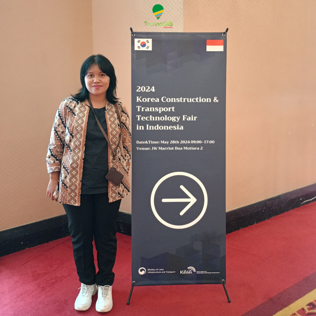
Korea – Indonesia 2024 Land Infrastructure and Transportation Industry Business Matching: Opening Opportunities for Strategic Collaboration

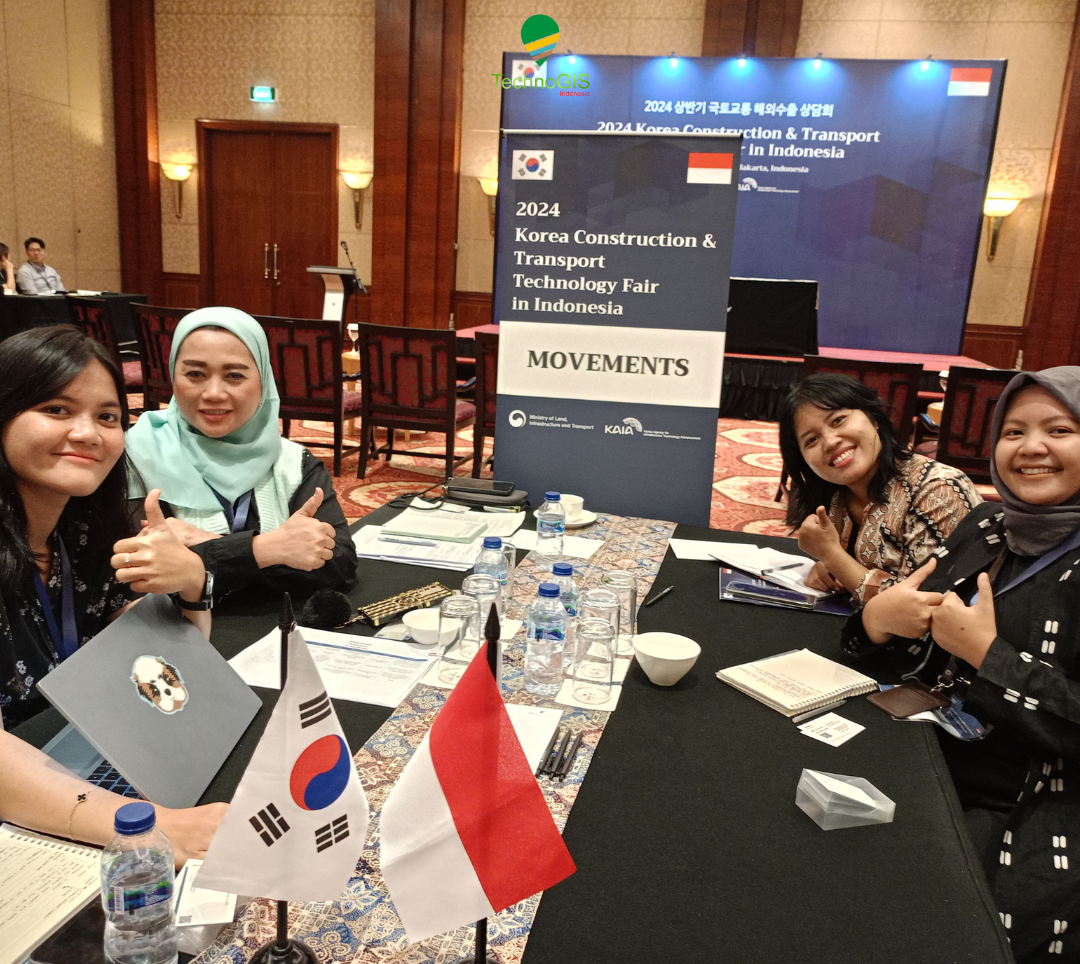
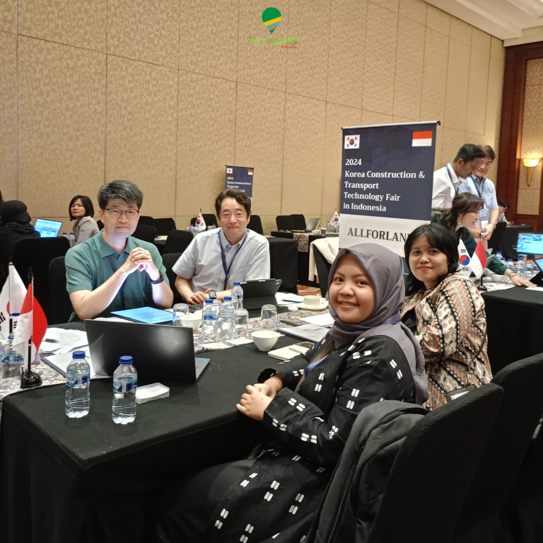
Korea – Indonesia 2024 Land Infrastructure and Transportation Industry Business Matching: Opening Opportunities for Strategic Collaboration – On May 28, 2024, the JW Marriott Hotel Jakarta witnessed an important event that brought together stakeholders in the land infrastructure and transportation industry from Korea and Indonesia. The event, titled “Korea – Indonesia 2024 Land Infrastructure and Transportation Industry Business Matching,” was designed to strengthen bilateral relations and create strategic business cooperation opportunities between the two countries.

Strategic Meeting

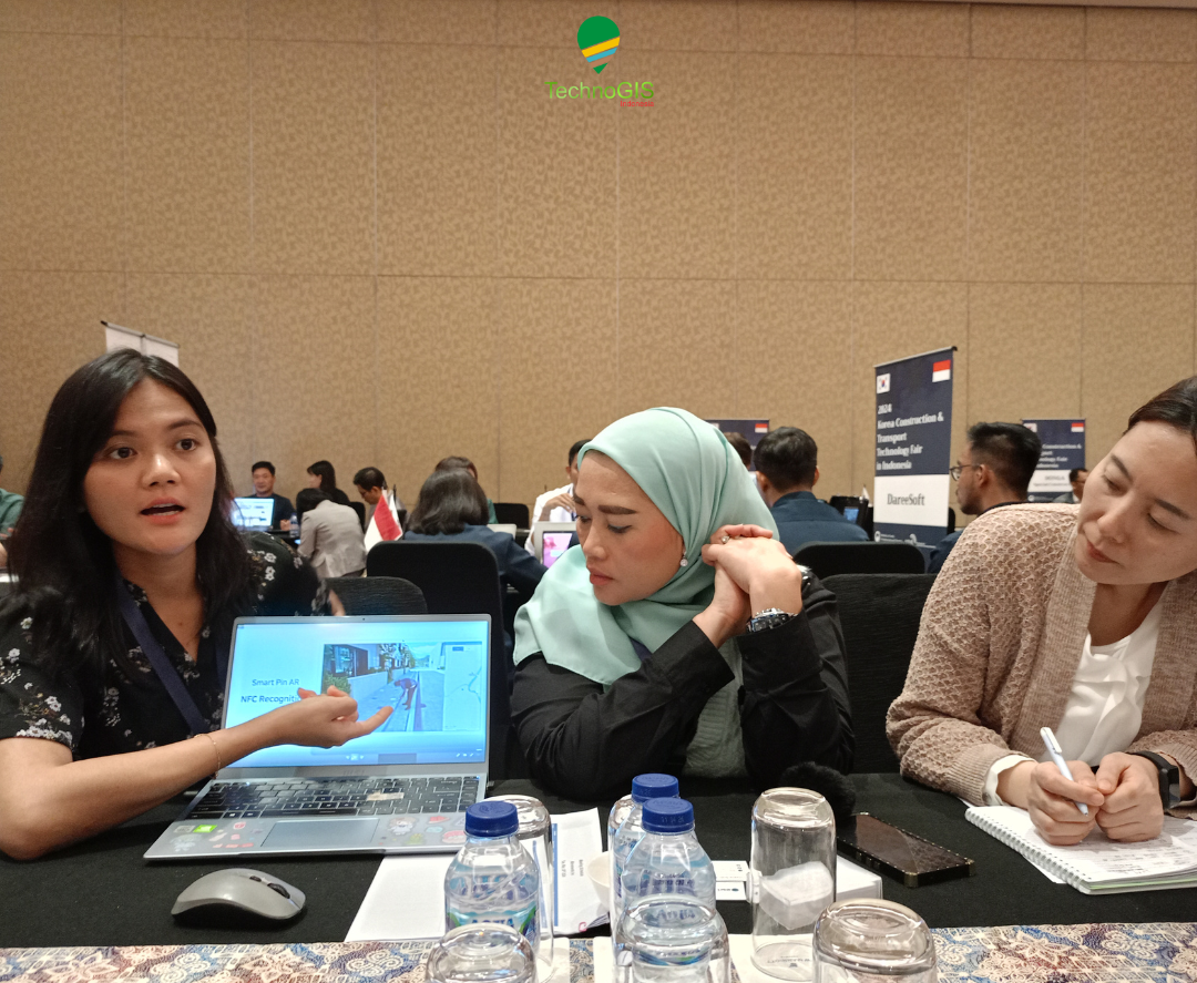
One of the key moments of this event was the meeting between PT Technogis Indonesia and two renowned Korean companies, Movements Inc. and Allforland Co., Ltd. This meeting served not only as a business networking opportunity but also as a platform to discuss concrete and sustainable collaboration plans.

PT TechnoGIS Indonesia

PT TechnoGIS Indonesia is a leading company in technology and infrastructure solutions in Indonesia. With extensive experience and capabilities, PT TechnoGIS is committed to supporting the development of modern and sustainable infrastructure in Indonesia. In this meeting, PT TechnoGIS introduced various ongoing and upcoming projects and initiatives, showcasing their readiness to collaborate with international partners.

Movements Inc.

Movements Inc. is a Korean company specializing in transportation and traffic management systems. With advanced technology and the latest innovations, Movements Inc. offers solutions that can enhance the efficiency and safety of transportation in urban and other areas. The discussion with PT TechnoGIS Indonesia focused on how Movements Inc.’s technology could be integrated into transportation projects in Indonesia to improve the quality and efficiency of the local transportation system.

Allforland Co., Ltd.

Allforland Co., Ltd. is a company engaged in land development and infrastructure. The company has a portfolio of projects that include residential development, industrial areas, and other public infrastructure. In this meeting, Allforland Co., Ltd. discussed potential collaborations with PT TechnoGIS Indonesia in developing infrastructure projects in Indonesia, including the construction of integrated areas that can support local economic growth.

Discussions and Collaboration Plans

During the meeting sessions, the three companies discussed various important topics, including innovative technologies, project implementation strategies, and business models that could be used to support this cooperation. PT TechnoGIS Indonesia proposed several potential projects that require the expertise and technology of the two Korean companies.

These discussions resulted in several action plans and initial commitments to conduct joint feasibility studies and the formation of a working team tasked with formulating concrete steps to realize this collaboration. All parties agreed that this cooperation would not only bring economic benefits but also contribute to better and more sustainable infrastructure development in Indonesia.

Closing

The Korea – Indonesia 2024 Land Infrastructure and Transportation Industry Business Matching event marked an important milestone in the cooperative relationship between Indonesia and Korea. Through meetings like this, it is hoped that more joint initiatives and projects can be realized, bringing long-term benefits to both countries. PT TechnoGIS Indonesia, Movements Inc., and Allforland Co., Ltd. have shown a strong commitment to working together and creating innovative and effective infrastructure and transportation solutions for a better future.


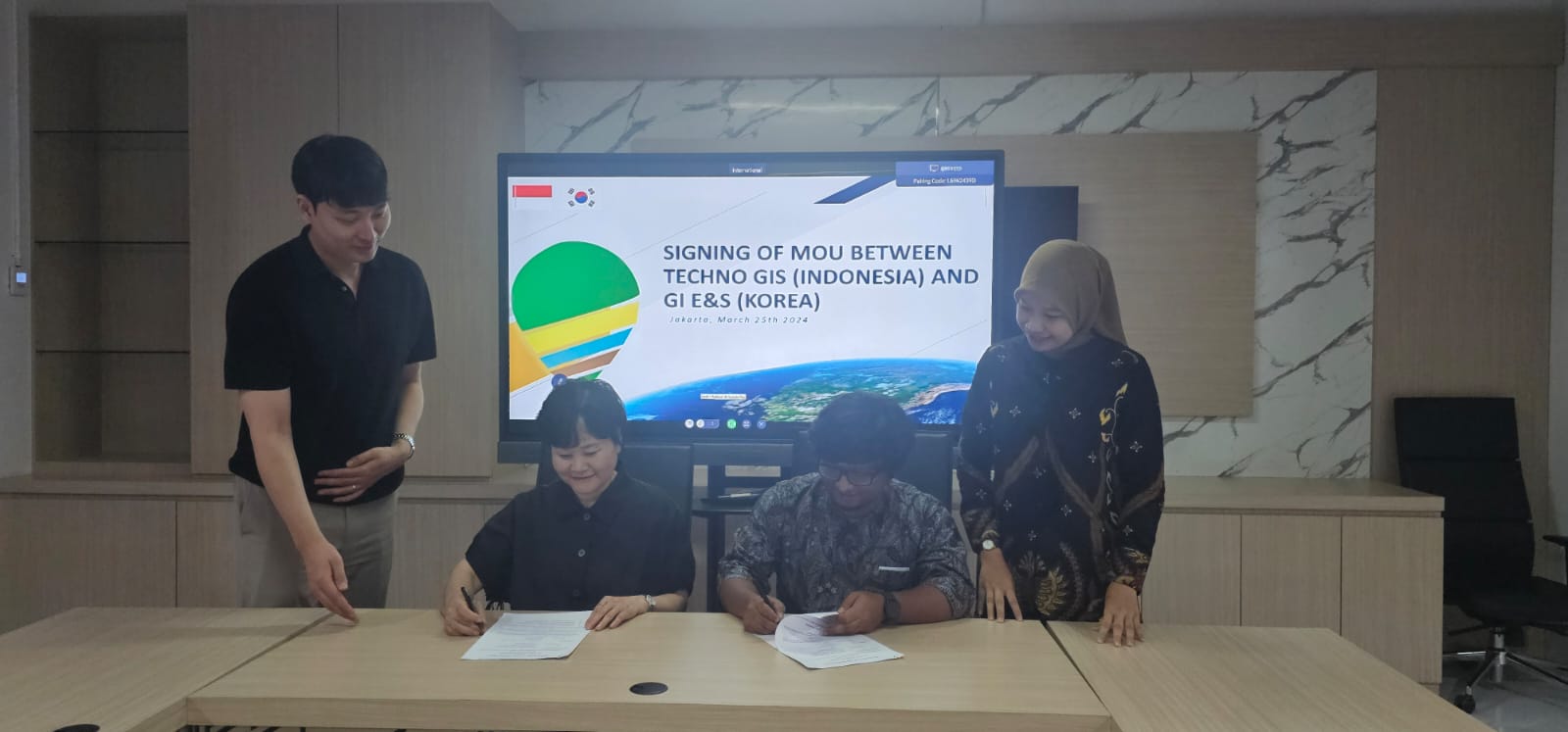
Partnership with GI E&S from Korea, TechnoGIS Indonesia Want to Bring the Geospatial Technology in Atmosphere and Climate Sectors

TechnoGIS, a leading geospatial technology company based in Indonesia, has announced an exciting new partnership with GI E&S, a prominent firm from Korea known for their expertise in Earth and Space data solutions. This collaboration aims to deliver innovative geospatial solutions that utilize satellite imagery to address critical issues related to geomaritime and geoclimate in Indonesia.

The partnership between TechnoGIS and GI E&S represents a significant step forward in harnessing the power of geospatial data to make informed decisions and drive positive change. By combining their respective strengths, the two companies are poised to revolutionize the way geospatial information is used to tackle challenges in the maritime and climate sectors.

One of the key focus areas of this partnership is geomaritime solutions. With Indonesia being an archipelagic nation comprising thousands of islands, the need for accurate geospatial data to support maritime activities is crucial. TechnoGIS and GI E&S will work together to develop advanced technologies that provide real-time insights into maritime navigation, resource management, and environmental monitoring.

In addition to geomaritime solutions, the collaboration will also address geoclimate challenges in Indonesia. With the increasing impact of climate change on the region, there is a growing demand for innovative approaches to monitor and mitigate environmental risks. By leveraging satellite imagery and geospatial analytics, TechnoGIS and GI E&S aim to provide decision-makers with the tools they need to better understand and respond to changing climate patterns.

“We are thrilled to partner with GI E&S to bring cutting-edge geospatial solutions to Indonesia,” said Mr Sarono, CEO of TechnoGIS. “By combining our expertise in geospatial technology with GI E&S’s domain knowledge in Earth and Space data, we are confident that we can make a positive impact on critical issues such as geomaritime and geoclimate in our country.”

The partnership between TechnoGIS and GI E&S underscores the importance of collaboration in driving innovation and creating sustainable solutions for pressing global challenges. By working together, the two companies aim to unlock the full potential of geospatial technology to build a more resilient and sustainable future for Indonesia and beyond.

For more information about the TechnoGIS and GI E&S partnership and their work on geospatial solutions for geomaritime and geoclimate in Indonesia, please visit their respective websites or contact their representatives directly.

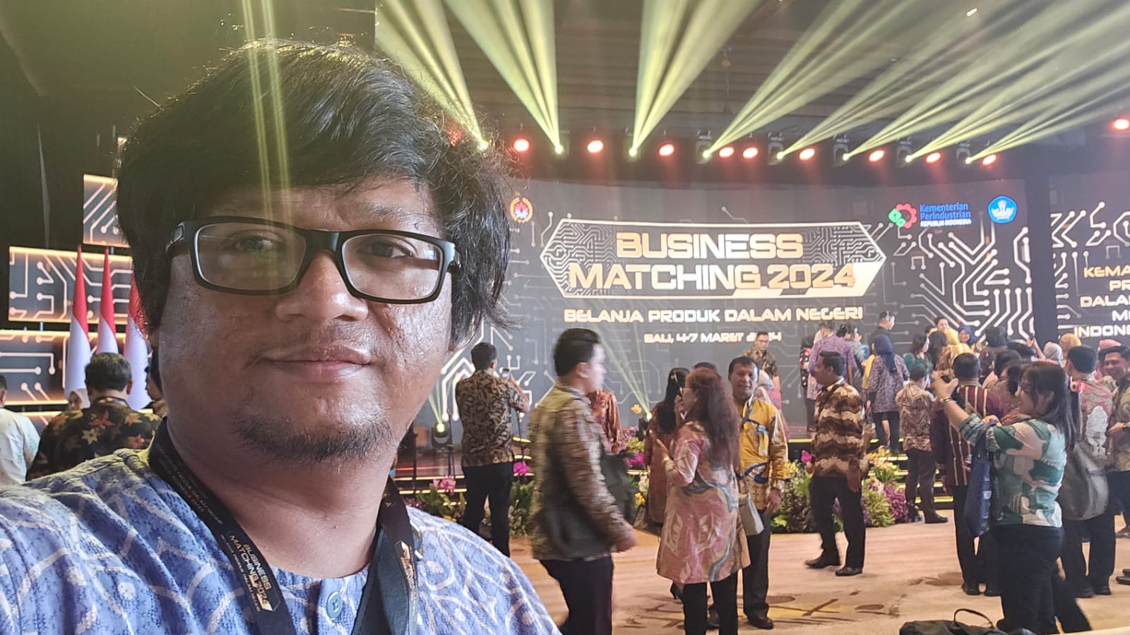
TechnoGIS join on Indonesia Bussines Matching 2024 “Belanja Produk Dalam Negeri” in Bali and Reach Potential 1.5 Million Rupiah

TechnoGIS, a trailblazing geospatial technology company, is set to make waves at the upcoming Indonesia Business Matching 2024 event themed “Belanja Produk Dalam Negeri” in Bali. The company is geared up to showcase its cutting-edge spatial analysis solutions and introduce the revolutionary TGS low-cost mapping services that promise to revolutionize the industry while providing access to potential customers at an affordable price point of 1.5 million rupiah.

The participation of TechnoGIS at the Indonesia Business Matching 2024 event underscores the company’s commitment to supporting local businesses and driving innovation in the geospatial technology sector. By bringing to the forefront its spatial analysis expertise and the TGS low-cost mapping services, TechnoGIS is poised to offer attendees a glimpse into the future of geospatial solutions.

“We are excited to be a part of Indonesia Business Matching 2024 and to showcase our latest innovations in spatial analysis and mapping services,” said a representative from TechnoGIS. “Our goal is to empower businesses with the tools they need to make informed decisions and unlock new opportunities through geospatial intelligence.”

The TGS low-cost mapping services introduced by TechnoGIS are designed to provide businesses with a cost-effective solution for their mapping needs. By leveraging advanced spatial analysis techniques, the company is able to offer high-quality mapping services at a fraction of the traditional cost, making it accessible to a wider range of businesses and industries.

“At TechnoGIS, we believe in democratizing access to geospatial technology and empowering businesses of all sizes to harness the power of spatial analysis,” added the representative. “Our TGS low-cost mapping services are a testament to our dedication to driving innovation and creating value for our customers.”

Through its participation in the Indonesia Business Matching 2024 event, TechnoGIS aims to connect with local businesses, showcase its capabilities in spatial analysis and mapping, and demonstrate how geospatial technology can drive growth and success in the Indonesian market.

For businesses looking to unlock new opportunities, make informed decisions, and enhance their operations through geospatial intelligence, a visit to the TechnoGIS booth at Indonesia Business Matching 2024 in Bali is a must. Discover the future of geospatial technology and see firsthand how spatial analysis and TGS low-cost mapping services can transform your business.