
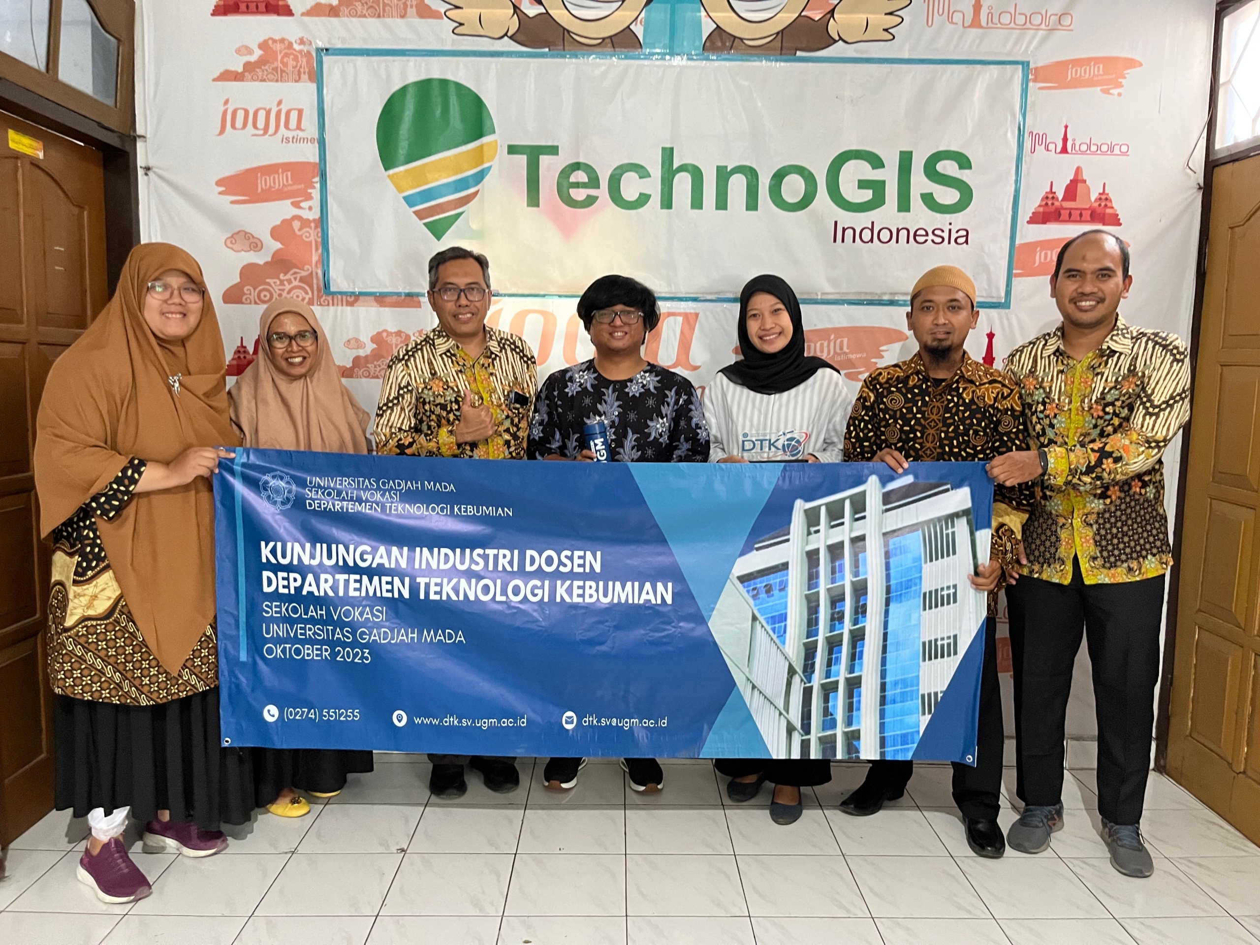
TechnoGIS Partners with D4 SIG, Sekolah Vokasi UGM to Validate and Develop TGS Low-Cost RTK for Rural Mapping in Indonesia
TechnoGIS, a leading provider of geographic information systems (GIS) solutions, has announced a strategic partnership with D4 SIG, Sekolah Vokasi UGM (D4 Spatial Information Engineering, Vocational School, Universitas Gadjah Mada) to validate and develop TGS Low-Cost Real-Time Kinematic (RTK) technology for rural mapping in Indonesia. This collaboration aims to enhance the accessibility and accuracy of mapping solutions, particularly in rural areas, to support sustainable development initiatives across the country.
The partnership between TechnoGIS and D4 SIG, Sekolah Vokasi UGM, marks a significant step forward in leveraging advanced geospatial technologies to address the challenges faced by rural communities in Indonesia. By combining TechnoGIS’s expertise in GIS solutions with D4 SIG’s research capabilities and academic insights, the collaboration seeks to bridge the gap between technological innovation and practical application in rural mapping.
The TGS Low-Cost RTK technology developed by TechnoGIS offers a cost-effective and reliable solution for real-time positioning and mapping, particularly in remote and underserved areas. By utilizing low-cost hardware and open-source software, TGS Low-Cost RTK provides an affordable alternative to traditional RTK systems, making it accessible to a wider range of users, including small-scale farmers, local governments, and community organizations.
As part of the partnership, D4 SIG, Sekolah Vokasi UGM, will play a crucial role in validating and refining the TGS Low-Cost RTK technology through field testing and research activities. Drawing on their expertise in spatial information engineering and geospatial analysis, the academic team will collaborate closely with TechnoGIS to assess the performance, accuracy, and usability of the technology in real-world rural mapping scenarios.
“We are excited to collaborate with D4 SIG, Sekolah Vokasi UGM, to validate and further develop our TGS Low-Cost RTK technology for rural mapping applications in Indonesia,” said Mr. Sarono, CEO of TechnoGIS. “This partnership underscores our commitment to leveraging innovation to address the unique challenges faced by rural communities and contribute to sustainable development efforts across the country.”
Dr. Taufik, Head of D4 SIG, Sekolah Vokasi UGM, expressed her enthusiasm about the collaboration, stating, “As an academic institution dedicated to advancing spatial information engineering, we are thrilled to partner with TechnoGIS to validate and enhance the TGS Low-Cost RTK technology. This collaboration not only provides valuable learning opportunities for our students but also contributes to the advancement of geospatial technologies in Indonesia.”
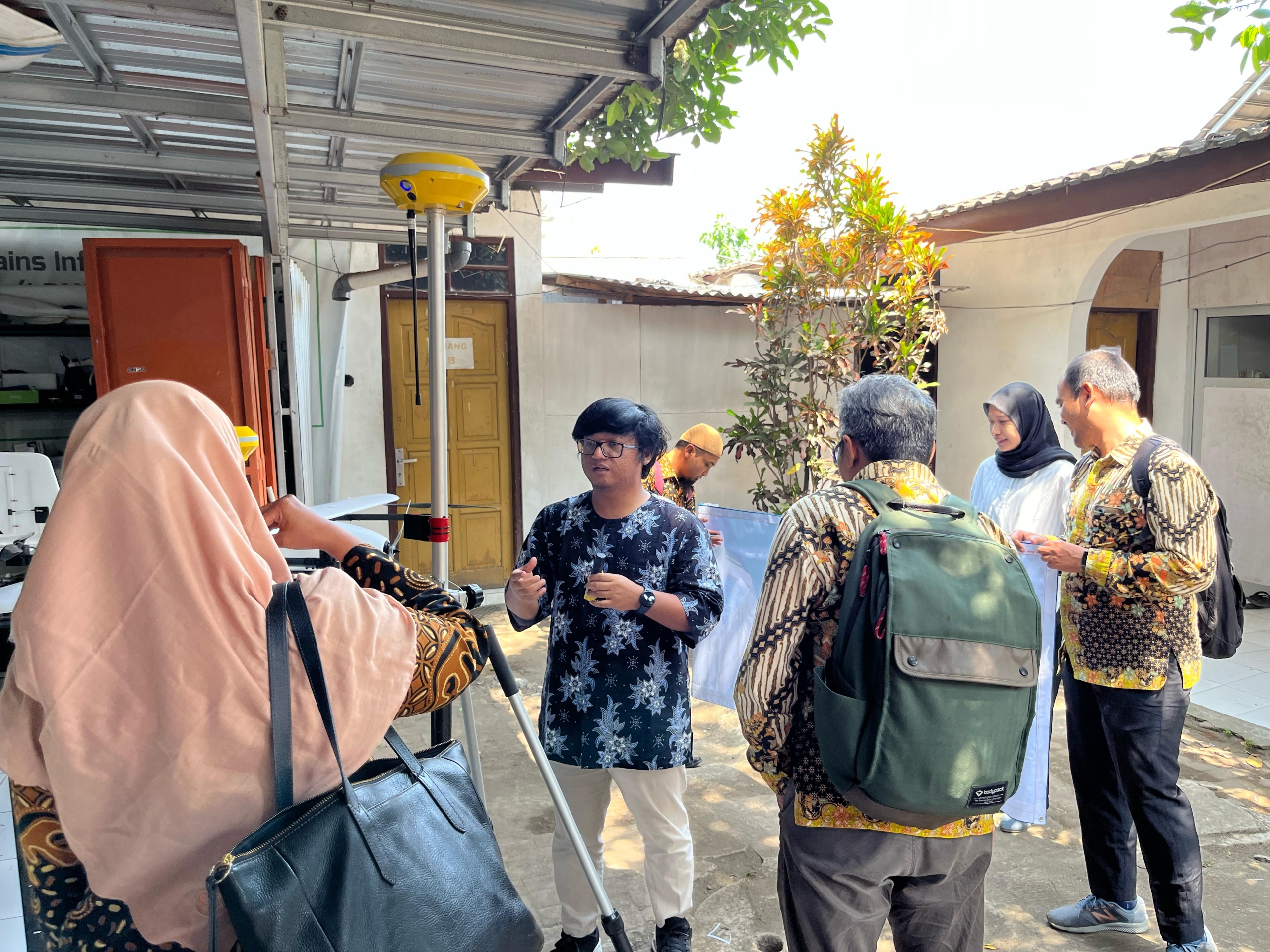
The validation and development of the TGS Low-Cost RTK technology will involve extensive field testing in collaboration with local communities, government agencies, and non-profit organizations. By gathering feedback and insights from end-users, TechnoGIS and D4 SIG, Sekolah Vokasi UGM, aim to refine the technology to better meet the needs and requirements of rural mapping stakeholders.
The partnership between TechnoGIS and D4 SIG, Sekolah Vokasi UGM, reflects a shared commitment to harnessing the power of geospatial technologies for social impact and sustainable development. By validating and developing the TGS Low-Cost RTK technology for rural mapping in Indonesia, the collaboration aims to empower local communities, improve decision-making processes, and support inclusive development initiatives across the country.
About TechnoGIS:
TechnoGIS is a leading provider of geographic information systems (GIS) solutions, offering a wide range of products and services to clients across various industries. With a focus on innovation, quality, and customer satisfaction, TechnoGIS is committed to delivering cutting-edge solutions that empower organizations to harness the power of spatial data for informed decision-making.
About D4 SIG, Sekolah Vokasi UGM:
D4 SIG, Sekolah Vokasi UGM (D4 Spatial Information Engineering, Vocational School, Universitas Gadjah Mada) is an academic institution dedicated to advancing spatial information engineering through education, research, and community engagement. With a focus on practical applications and interdisciplinary collaboration, D4 SIG prepares students to become skilled professionals in the field of geospatial technologies.


Leave a Reply
Want to join the discussion?Feel free to contribute!