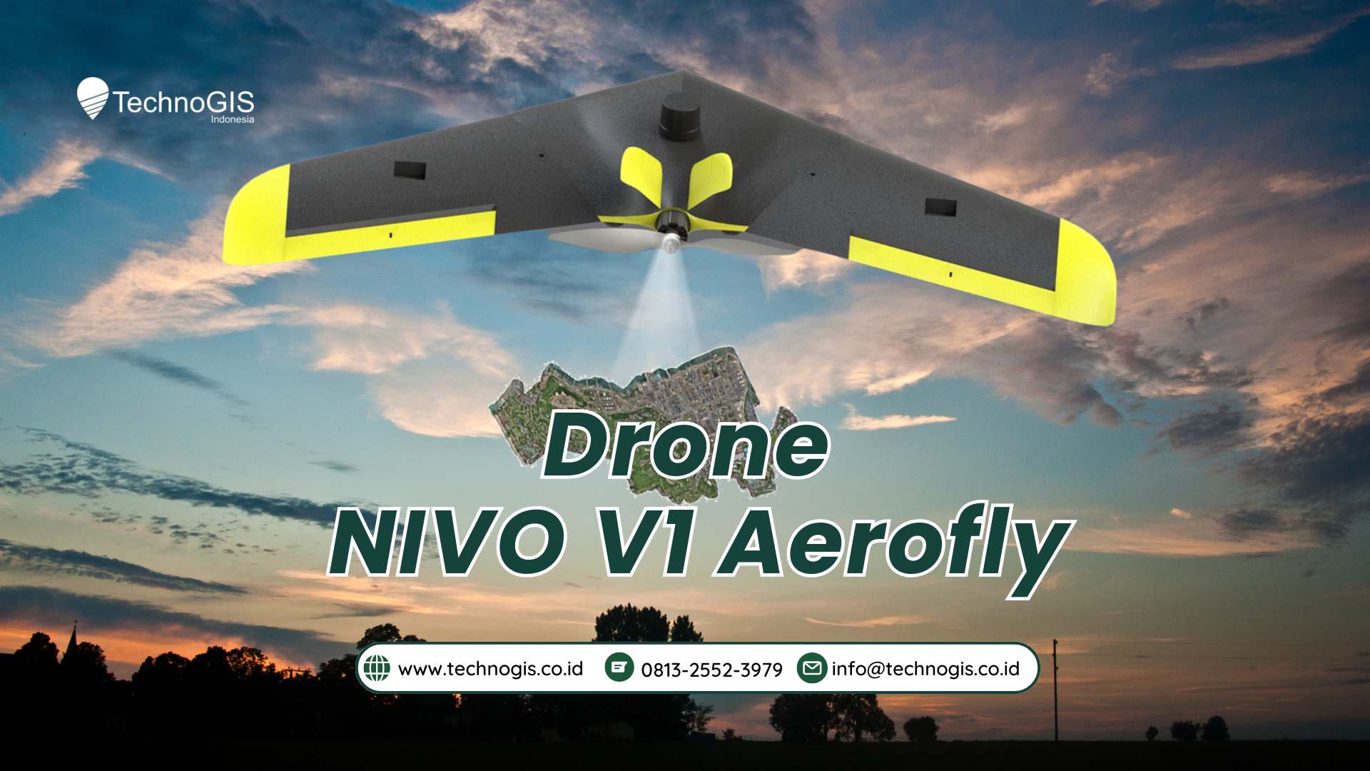
Unlock Faster, More Accurate Surveying with NiVO V1 FlyWing
NiVO V1 FlyWing is a professional fixed-wing drone built to help surveying and mapping companies work faster, cover larger areas, and deliver accurate results with lower operational cost.
With the ability to map up to 100 hectares in a single flight and an endurance of around 30 minutes, NiVO V1 significantly reduces field time and manpower. Fewer flights mean higher productivity and faster project completion.
Equipped with a 20 MP camera and advanced GNSS PPK/RTK dual-frequency technology, NiVO V1 delivers survey-grade data with accuracy up to 10 cm horizontally and 15 cm vertically, meeting professional and project-based requirements.
The drone supports fully autonomous missions through Mission Planner or QGroundControl, allowing consistent data capture with minimal pilot workload. This makes NiVO V1 easy to operate and reliable, even for teams with limited drone experience.
Its lightweight carbon composite airframe ensures stable flight performance while remaining durable for continuous field operations. The fixed-wing design is optimized for wide-area mapping, making it more efficient than conventional multirotor drones.
Backed by TKDN certification above 25%, NiVO V1 is a smart investment for local projects in Indonesia. It is an ideal solution for surveying consultants, plantations, infrastructure projects, and environmental monitoring that demand accuracy, efficiency, and long-term value.


Leave a Reply
Want to join the discussion?Feel free to contribute!