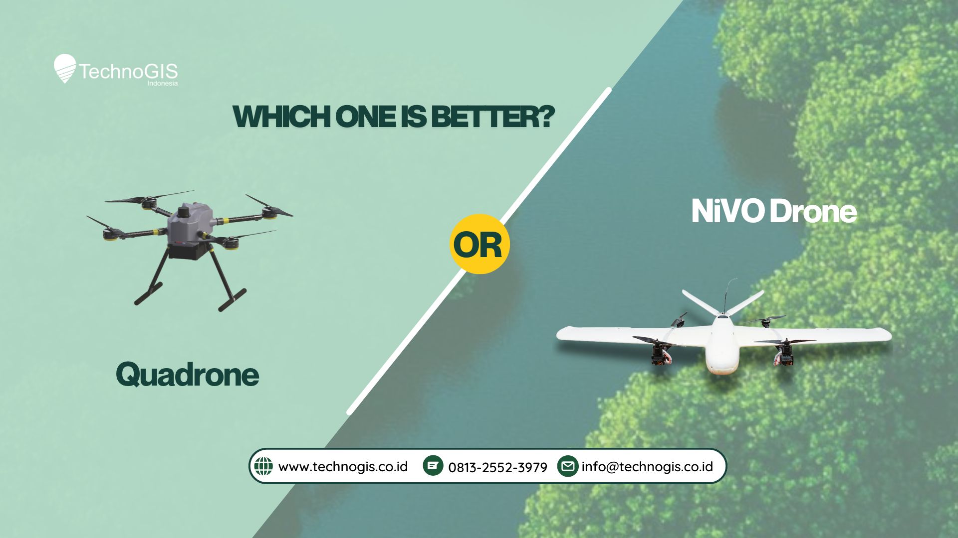
Choosing the Right Drone for Your Surveying Needs: Quadrone Pro vs. NiVO Drone
In the world of professional aerial surveying, drones are essential tools that help surveyors, engineers, and geospatial experts collect high-precision data efficiently. However, with numerous options available, selecting the right drone for the job is critical. Today, we compare two top-tier drones from TechnoGIS Indonesia: the Quadrone Pro and the NiVO Drone. Both of these drones offer unique features and benefits tailored to specific needs. Here’s a breakdown of their strengths to help you make the right choice for your projects.
Quadrone Pro: High-Precision and Versatility for Smaller Areas
The Quadrone Pro is an industrial-grade UAV multirotor designed to deliver high-precision surveying and mapping solutions, particularly for smaller areas. It’s ideal for tasks that require agility, versatility, and quick deployment. Here are some of the drone’s key advantages:
-
Key Features:
-
Endurance: 45 minutes of flight time.
-
Payload: 1,000g, making it capable of carrying multiple sensors, including RGB, LiDAR, and multispectral cameras.
-
Autonomous Flight Modes: Pre-programmed flight paths and autonomous navigation for seamless data collection with minimal manual intervention.
-
-
Advantages:
-
The Quadrone Pro excels in high-precision applications like topographic mapping, land surveying, and environmental monitoring. Its superior payload capacity and sensor compatibility (including LiDAR for high-density data capture) make it a great fit for urban planning and infrastructure monitoring.
-
Quick Deployment: The Quadrone Pro is easy to operate and designed for smaller, more confined areas where rapid deployment is needed.
-
-
Limitations:
-
It has a lower flight time compared to the NiVO Drone, and its range may not be suitable for large-scale area surveys.
-
NiVO Drone: Efficiency and Coverage for Large-Scale Projects
The NiVO Drone, on the other hand, is designed for large-scale surveys and aerial mapping, with features tailored to extensive geographical areas. As a VTOL (Vertical Takeoff and Landing) drone, it offers excellent versatility in flight performance, making it ideal for various industries, from agriculture to infrastructure.
-
Key Features:
-
Wingspan: 2,100mm, providing stability and range for large-scale mapping.
-
Endurance: 120 minutes of flight time, allowing it to cover vast areas without interruption.
-
Payload: 1,000g with multiple compatible sensors, including high-resolution RGB cameras, LiDAR, and multispectral NDVI cameras.
-
-
Advantages:
-
Greater Coverage: Thanks to its long endurance and wingspan, the NiVO Drone can cover large areas, making it perfect for projects like terrain mapping, power line patrol, and smart city construction.
-
Flexible Flight: Its VTOL capabilities make it ideal for a variety of environments, with quick deployment and the ability to take off and land in tight spaces.
-
-
Limitations:
-
Its smaller payload capacity compared to other drones may limit its application in specific cases requiring heavier equipment.
-
While versatile, its takeoff and landing need open areas, limiting operational flexibility in highly congested zones.
-
Applications: Finding the Right Tool for the Job
-
NiVO Drone:
The NiVO Drone is perfect for:-
Terrain Mapping: Its long endurance allows it to cover large, remote areas in a single flight.
-
Power Line Patrol: With the ability to fly long distances and survey vast areas, it’s ideal for maintaining infrastructure.
-
Smart City Construction & Cultural Heritage Mapping: Its precision and VTOL capabilities make it a great choice for projects that require access to both open and restricted spaces.
-
-
Quadrone Pro:
The Quadrone Pro shines in:-
Smaller Area Surveys: It’s ideal for projects in confined spaces, where quick data collection and easy deployment are essential.
-
Urban and Infrastructure Monitoring: The Quadrone Pro’s sensors (including LiDAR and multispectral) make it perfect for detailed environmental assessments and building inspections.
-
Agriculture & Forestry: Its compatibility with various payloads allows for precision agriculture and forest management.
-
Conclusion: Which One Should You Choose?
Both the Quadrone Pro and NiVO Drone have their respective strengths. If you need to survey large-scale areas and require high endurance, the NiVO Drone with its VTOL capabilities and extended flight time is the right choice. However, for smaller, more confined areas that demand precision and quick deployment, the Quadrone Pro offers an excellent solution, especially with its advanced autonomous flight modes and superior sensor capabilities.
In conclusion:
-
Choose the NiVO Drone for high-precision aerial surveys in diverse environments with high payloads and large-area coverage.
-
Choose the Quadrone Pro for quick, efficient surveying in smaller, more confined areas that require agility and versatility.


Leave a Reply
Want to join the discussion?Feel free to contribute!