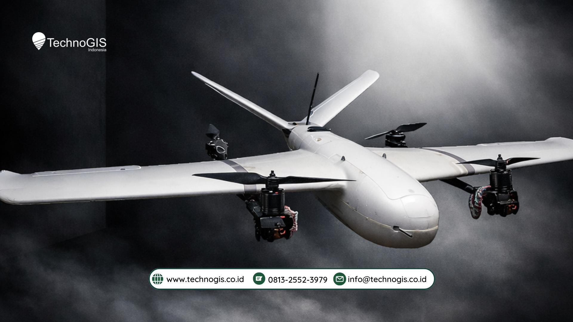
Unlocking the Full Potential of Aerial Surveying with NiVO VTOL Drones
The world of aerial surveying is undergoing a transformation, and the NiVO VTOL drone is leading the charge. Combining cutting-edge technology with versatile design, NiVO VTOL drones are pushing the boundaries of what’s possible in data collection, analysis, and operational efficiency.
1. Real-Time, High-Accuracy LiDAR Mapping in Complex Environments
Traditional LiDAR mapping often requires time-consuming ground-based equipment and can be limited by access restrictions. NiVO VTOL drones, however, can quickly cover large areas, providing real-time LiDAR data even in the most difficult-to-reach locations. Whether it’s mapping steep hillsides, dense urban environments, or remote forests, NiVO VTOL drones ensure high-precision, actionable data is captured without the need for extensive fieldwork.
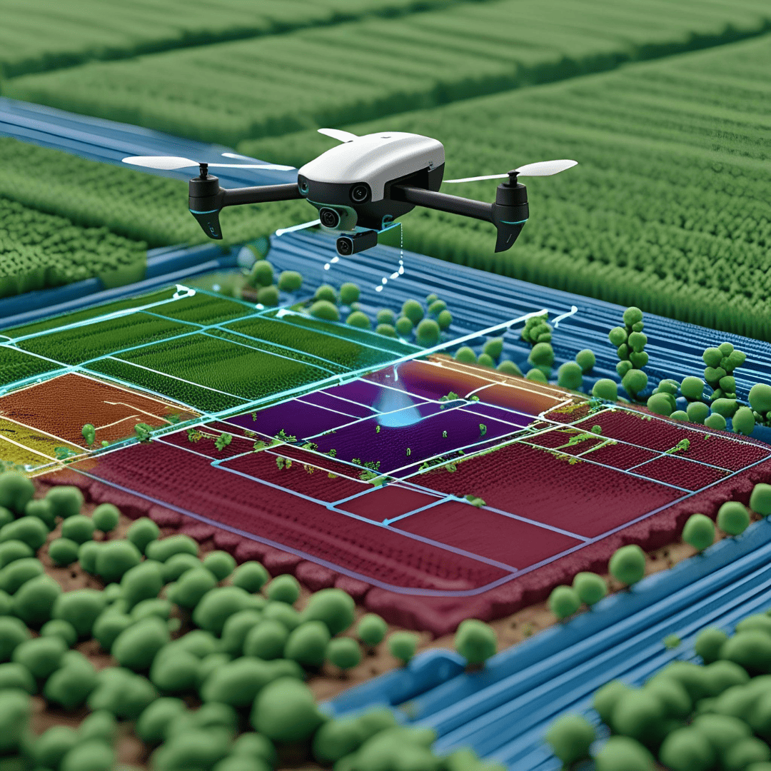
2. Seamless Integration with GIS for Urban Development Projects
Urban planning and development require precise, up-to-date geographic data. NiVO VTOL drones deliver high-quality geospatial data that integrates seamlessly with Geographic Information Systems (GIS). This allows city planners and architects to quickly assess land use, track infrastructure changes, and perform 3D modeling—all in one smooth workflow. This integration cuts down on the time and cost of site surveys, streamlining the planning process.
3. Accelerated Post-Disaster Site Assessment
In disaster management, time is critical. NiVO VTOL drones play an essential role in post-disaster site assessments, allowing responders to quickly gather detailed data on affected areas. By providing real-time aerial imagery and 3D models, these drones support decision-making in crisis situations, helping authorities prioritize resources and plan recovery efforts with precision.
4. Monitoring Remote Infrastructure and Utilities
For critical infrastructure such as power lines, pipelines, or communication towers, the NiVO VTOL drone offers an efficient solution for regular monitoring. Instead of sending teams into hazardous areas, drones can fly over long stretches of infrastructure, capturing high-resolution images and detecting early signs of wear, damage, or corrosion. This proactive approach helps prevent costly repairs and increases the lifespan of critical assets.
5. Enhanced Environmental Impact Studies with Minimal Disruption
Environmental monitoring often requires long-term data collection in delicate ecosystems. NiVO VTOL drones provide a less invasive method for capturing environmental data, whether it’s tracking wildlife, monitoring soil erosion, or studying vegetation growth. The drone’s ability to hover and operate quietly minimizes disruption, ensuring the integrity of the study while delivering critical insights.
The NiVO Advantage: Precision Meets Flexibility
The NiVO VTOL drone is designed for industries that demand precision, flexibility, and efficiency. With its vertical takeoff and landing (VTOL) capability, it can operate in confined or difficult environments where traditional drones can’t, while delivering high-quality data across long distances.
Whether it’s improving urban development workflows, providing rapid post-disaster assessments, or enabling high-precision environmental studies, NiVO VTOL drones are reshaping the future of aerial surveying. Their ability to operate autonomously, collect actionable data in real-time, and seamlessly integrate with existing workflows makes them an indispensable tool for industries looking to innovate and improve their operations.

Leave a Reply
Want to join the discussion?Feel free to contribute!