Tag Archive for: #GNSSRTK

PT Techno GIS Indonesia Showcases Indonesia’s Geospatial Innovation at INNOPROM 2026 as Part of Indonesia’s Partner Country Delegation

Yekaterinburg, Russia — 2026

PT Techno GIS Indonesia proudly participates in INNOPROM 2026 as one of Indonesia’s technology companies bringing geospatial innovation to the global industrial stage. Indonesia’s role as Partner Country at this prestigious international industrial exhibition represents a strategic opportunity to showcase the nation’s capabilities, innovation, and competitiveness in the global market.

INNOPROM 2026 serves as a major international industrial platform that brings together industry leaders, technology companies, investors, and key stakeholders from various countries. Through Indonesia’s participation as Partner Country, national industries are given the opportunity to present innovative products, solutions, and technologies that support modern industrial development and digital transformation.
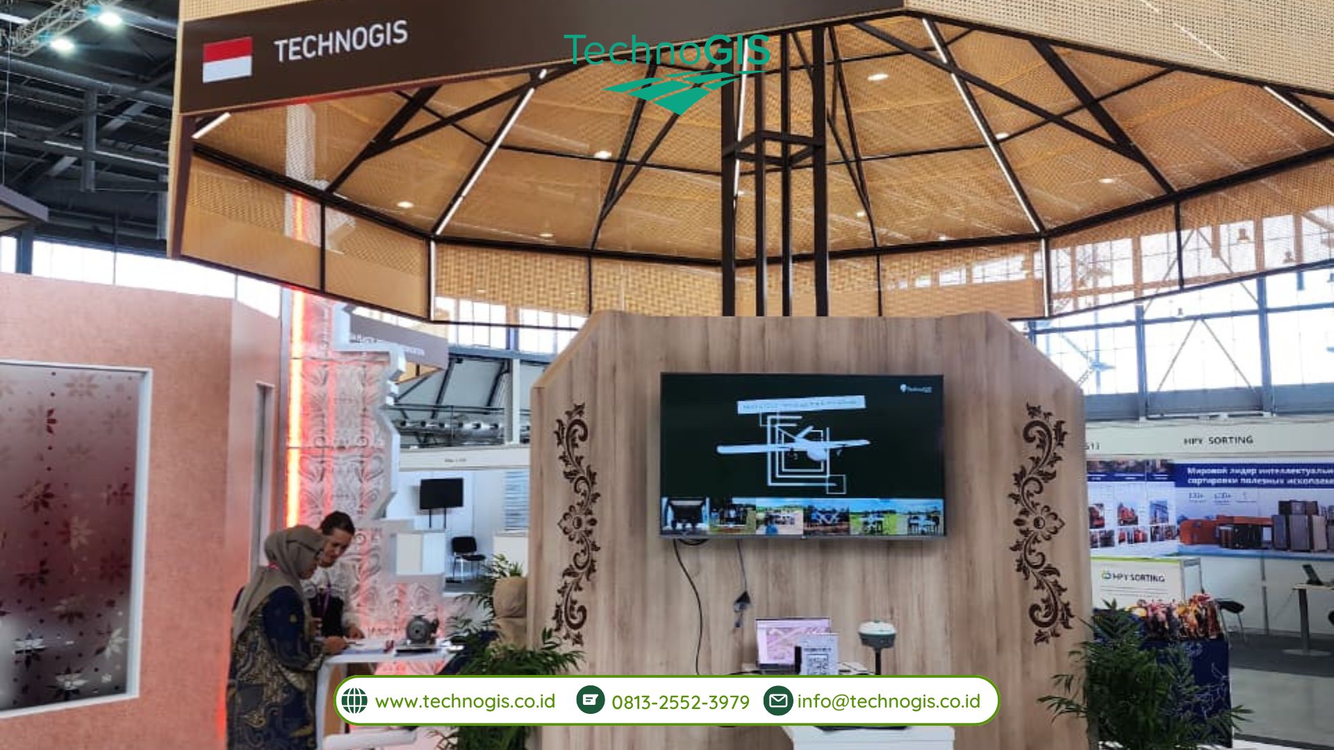
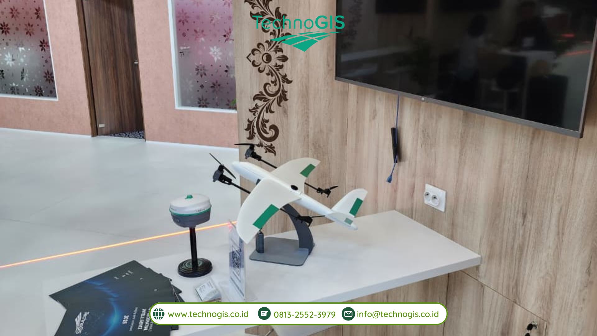
As a company specializing in geospatial technology and surveying solutions, PT Techno GIS Indonesia presents advanced solutions that support data-driven industries and digital transformation initiatives. At INNOPROM 2026, TechnoGIS showcases its comprehensive portfolio, including GNSS RTK Systems, UAV Mapping Solutions, Hydrographic Survey Equipment, Remote Sensing Technologies, and Geospatial Software Solutions.

These technologies are designed to support various strategic sectors, including infrastructure development, land management, environmental monitoring, smart city development, construction surveying, and industrial digitalization.
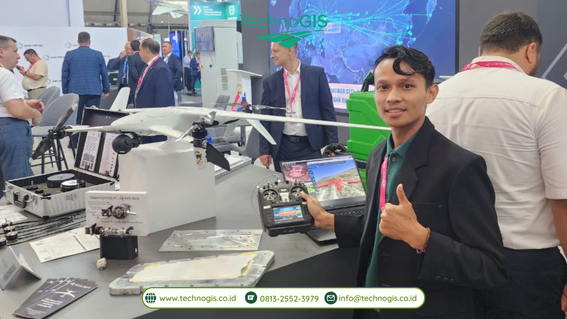
The participation of TechnoGIS Indonesia at INNOPROM 2026 demonstrates the growing importance of geospatial technology in building a more efficient, accurate, and sustainable industrial ecosystem. Through the utilization of high-quality spatial data and advanced surveying technologies, the company is committed to supporting organizations in making precise and data-driven decisions.

“PT Techno GIS Indonesia’s participation in INNOPROM 2026 represents an important opportunity to introduce Indonesia’s geospatial technology capabilities to the international community. We believe that accurate spatial data and modern mapping technologies play a fundamental role in supporting infrastructure development, resource management, and industrial digital transformation,” said Anton Prasetyo, Chief Technology Officer (CTO) of PT Techno GIS Indonesia.

Anton Prasetyo added, “Through this participation, we are also creating opportunities for collaboration with global partners to develop innovative geospatial solutions that address future industrial challenges. We aim to demonstrate that Indonesian technology companies are capable of delivering competitive solutions with strong value in the international market.”

As part of Indonesia’s industrial representation at INNOPROM 2026, PT Techno GIS Indonesia contributes to strengthening Indonesia’s position as a country with growing capabilities in technology, innovation, and industrial digitalization. This participation serves as a strategic step to expand international networks and introduce Indonesian geospatial solutions to global partners.
With a commitment to delivering spatial intelligence for diverse industrial needs, PT Techno GIS Indonesia continues to advance geospatial technology as a foundation for smarter planning, sustainable development, and data-driven decision-making.

TechnoGIS Showcases Smart Geospatial Solutions at GWF 2026

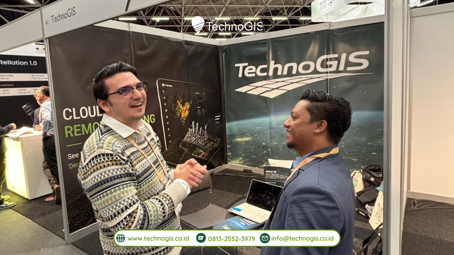
TechnoGIS participated in the Geospatial World Forum 2026 Conference & Tech Show, which took place from April 29 to May 1, 2026, at RAI Amsterdam, The Netherlands. During this international event, TechnoGIS joined the exhibition as one of the participating companies at Booth 41 and introduced its geospatial technologies and solutions to a global audience consisting of professionals, researchers, government representatives, technology providers, and industry stakeholders from many countries.

The participation of TechnoGIS in Geospatial World Forum 2026 became an important milestone for the company in strengthening its presence in the international geospatial industry. The event provided a strategic platform for TechnoGIS to showcase its innovations, exchange knowledge with global experts, and establish new connections with organizations involved in geospatial technology, remote sensing, mapping, and spatial data management. Through this opportunity, TechnoGIS demonstrated its commitment to supporting the development of modern geospatial solutions that can answer various challenges in today’s rapidly evolving digital era.

During the exhibition session, TechnoGIS presented a range of technologies designed to support modern surveying, mapping, monitoring, and geospatial data analysis. These technologies included GNSS RTK equipment for high-precision positioning and surveying, drone-based mapping solutions for aerial data acquisition, mapping sensors for spatial data collection, and iT Sensing, a cloud-based platform developed to simplify and accelerate remote sensing image processing. Visitors from different sectors showed strong interest in the technologies presented, especially in solutions that improve efficiency, accuracy, and accessibility in geospatial workflows.

In addition to participating in the exhibition, TechnoGIS also took part as a speaker during one of the conference sessions. In this presentation, the company introduced iT Sensing as an innovative platform that enables users to process and analyze remote sensing imagery more effectively through cloud-based technology. The session explained how cloud computing can help reduce complex manual workflows, speed up data processing, and improve access to geospatial analysis for users from different professional backgrounds.

The presentation also highlighted the practical applications of iT Sensing in various sectors and industries. The platform can support land monitoring activities, environmental observation, urban and regional planning, infrastructure inspection, agricultural analysis, disaster management, and smart city development. By integrating remote sensing technology with cloud-based processing systems, iT Sensing offers a more efficient approach to spatial data analysis while helping users make faster and more informed decisions.

Through both the exhibition and speaker session, TechnoGIS reaffirmed its commitment to advancing geospatial technology and supporting innovation across different sectors. The company’s participation in Geospatial World Forum 2026 also represented a strategic effort to expand international collaboration opportunities, strengthen global partnerships, and introduce Indonesian geospatial innovation to a wider international market. The event allowed TechnoGIS to interact directly with global industry players and explore future opportunities for cooperation in research, technology development, and geospatial implementation.

TechnoGIS’ presence at Geospatial World Forum 2026 reflects its broader mission to deliver reliable, relevant, and innovative geospatial solutions for global users. By bringing technologies such as iT Sensing to the international stage, TechnoGIS continues to support data-driven decision-making, efficient remote sensing image processing, and smarter, more sustainable development initiatives in various parts of the world.