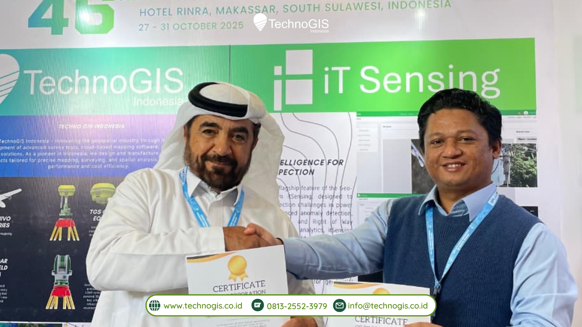
TechnoGIS and TECRS Sign MoU for International Geospatial Technology Collaboration
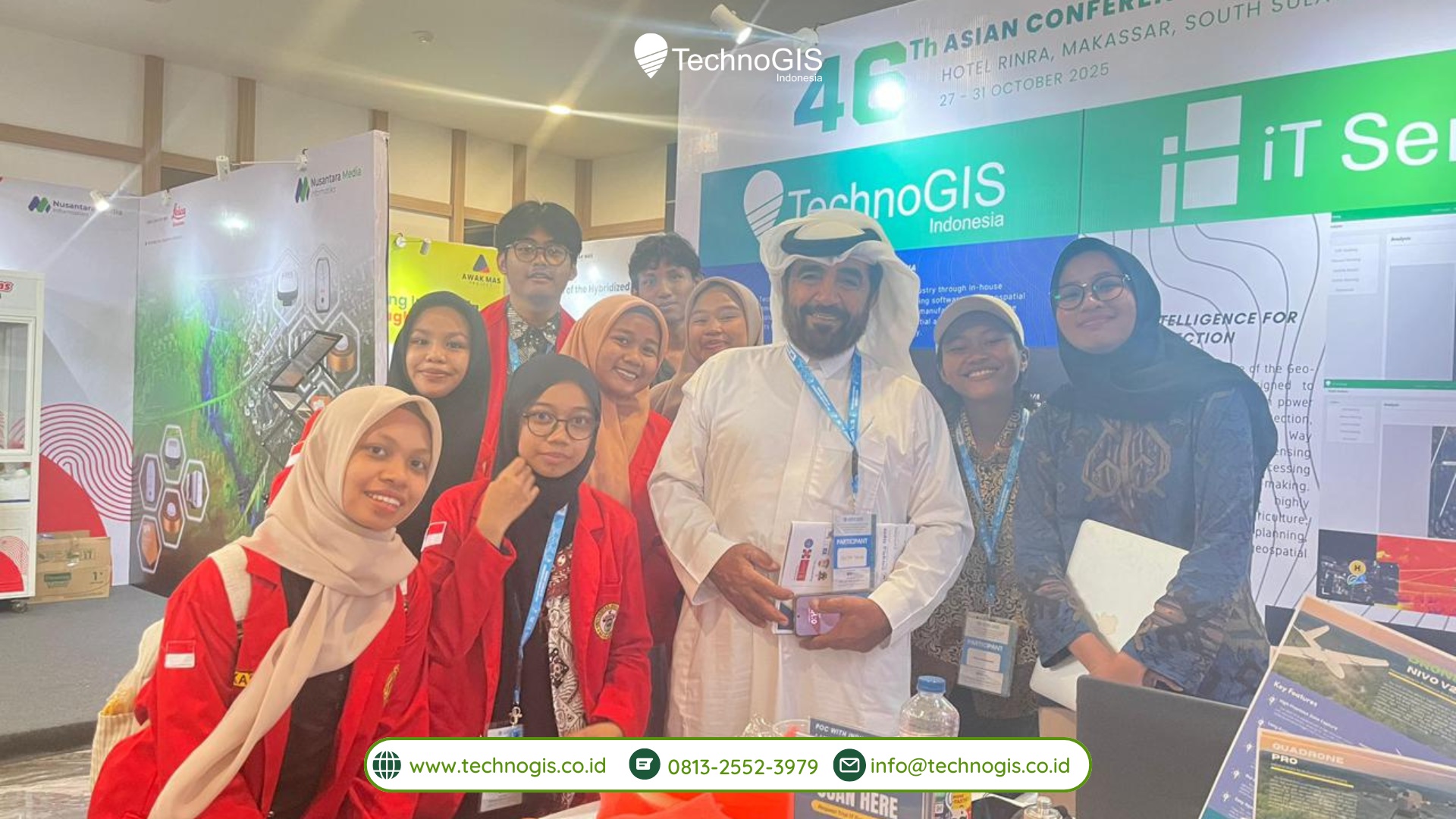
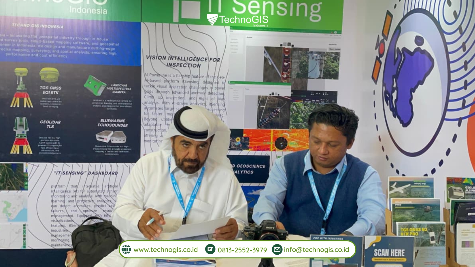
MAKASSAR-October 31 2025– At an important moment in the global geospatial technology industry, TechnoGIS and TECRS officially signed a Memorandum of Understanding (MoU) that marks the beginning of an international strategic partnership. The signing was carried out by Mr. Sahrono as CEO of TechnoGIS, and Mr. Sultan Al Sultan representing TECRS based in Riyadh, Saudi Arabia. This collaboration is expected to open wider opportunities for both parties in strengthening geospatial development in regional and international markets.
This partnership was born in response to the growing need for advanced geospatial solutions amid rapid digital transformation and globalization. Geospatial data has become a critical element in decision-making across various sectors such as infrastructure, smart cities, environmental management, transportation, and national resilience. Both companies see that the integration of technology, expertise, and international networks is key to supporting sustainable development and efficient digital ecosystems.
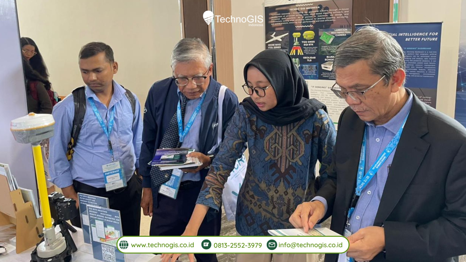
One of the first concrete steps in realizing this collaboration is the joint participation of TechnoGIS and TECRS in The Asian Conference on Remote Sensing (ACRS) 2025, which will take place in Makassar, Indonesia, on 27–31 October 2025. ACRS is one of the largest and most prestigious geospatial conferences in the Asia-Pacific region, bringing together experts, government agencies, industry leaders, and academics from various countries. Through this forum, TechnoGIS and TECRS will introduce their innovative solutions, build strategic partnerships, and contribute to geospatial knowledge development through exhibitions, technical sessions, and collaborative discussions.
TechnoGIS, as a company focusing on geospatial platforms, mapping services, and digital solutions using advanced GIS technologies, continues to expand its global presence. Meanwhile, TECRS, known in the Middle East for its innovative technological capabilities and wide network, offers strong international market access and solution delivery expertise in the government and private sectors. The combination of these competitive strengths creates a synergy that will accelerate the development of effective, adaptive, and scalable geospatial solutions.
Furthermore, both companies emphasize the importance of technology transfer, capacity building, and research collaboration to support long-term industrial growth. They also believe that strengthening human resource capabilities and improving spatial data accessibility can drive smarter governance and more responsive development planning. In addition, the partnership aims to encourage innovation in climate monitoring, disaster mitigation, and environmental management — areas where geospatial intelligence has become increasingly crucial in addressing global challenges.
As next steps, the two companies will establish a joint working group to draft a detailed roadmap for the MoU implementation. This includes determining initial project targets, commercial strategies, knowledge exchange mechanisms, and operational frameworks to ensure impactful and measurable outcomes. This collaboration is expected to not only expand their business reach, but also contribute positively to the future of global geospatial innovation. The upcoming milestones from this partnership will showcase stronger synergy and greater contributions to the dynamic advancement of the global geospatial sector.
With aligned vision and strong commitment, the partnership between TechnoGIS and TECRS is projected to become a milestone in international geospatial cooperation, offering greater value for technological advancement and sustainable development in the years ahead.