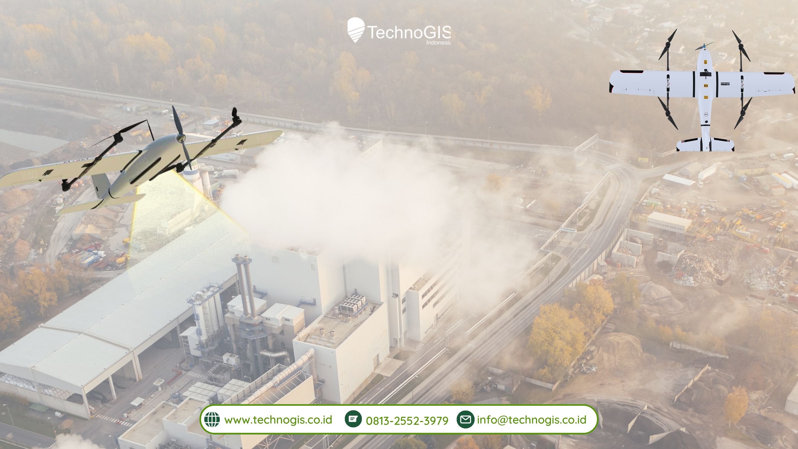
Transforming Aerial Surveying: Introducing the NiVO V5 Pro Drone
In the world of aerial surveying, the NiVO V5 Pro drone stands out as an innovation that combines advanced technology with highly accurate data collection capabilities. Specifically designed for professionals in construction, agriculture, and various other sectors, this drone is equipped with advanced sensors and a GNSS PPK system that ensures reliable and precise measurements. Capable of supporting a variety of sensors, including LIDAR for 3D mapping, thermal sensors for environmental monitoring, and RGB cameras for high-quality imagery, the NiVO V5 Pro delivers detailed data across a wide range of conditions and applications.
The NiVO V5 Pro is ideal for large-scale survey projects. With a flight time of up to 90 minutes and the ability to cover areas up to 1000 hectares in a single flight, it significantly enhances operational efficiency. Its flight speed of 17 m/s allows for quick data collection, saving both time and resources compared to traditional surveying methods. Another standout feature is its autonomous flight capabilities, which allow the drone to follow pre-programmed flight paths with minimal manual intervention. This is especially beneficial for projects requiring high accuracy and efficiency, as operators can focus on other tasks while the drone collects data consistently and precisely.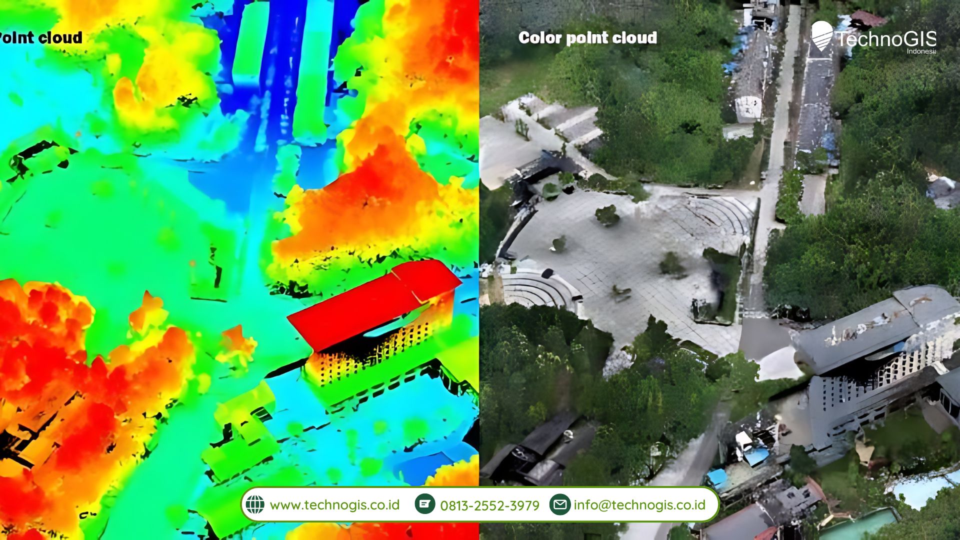 The NiVO V5 Pro is also designed for ease of use. With an intuitive control system and seamless integration with mobile apps, even users with limited experience can quickly operate the drone and start surveying. Additionally, the drone is compatible with various industry-standard software platforms, making data processing and analysis straightforward for professionals across different sectors. Its reliability in diverse field conditions ensures that it can perform well in both urban environments and remote, challenging locations.
With all these advanced features, the NiVO V5 Pro is more than just a tool—it’s a revolutionary asset that transforms the way aerial surveying is done. With precise and efficient data collection capabilities, along with autonomous flight technology that simplifies operation, this drone is the go-to choice for sectors that demand accurate and reliable survey data.

Leave a Reply
Want to join the discussion?Feel free to contribute!