TechnoGIS Indonesia Showcases Advanced Drone Innovations at Indonesia Drone Summit 2025
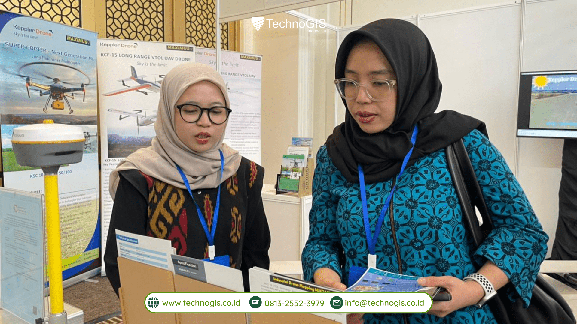
Jakarta, 17 November 2025 – TechnoGIS Indonesia reaffirmed its commitment to advancing the geospatial sector by showcasing an integrated lineup of cutting-edge drone and surveying technologies at the Indonesia Drone Summit 2025. As one of the event’s leading exhibitors, TechnoGIS presented a complete ecosystem of professional-grade solutions designed to elevate accuracy, efficiency, and operational reliability for industries that depend on modern geospatial data acquisition. With a focus on airborne mapping, hydrographic surveying, and intelligent data processing, the company demonstrated how unified geospatial technologies can accelerate decision-making across agriculture, forestry, construction, mining, coastal management, and infrastructure development.
A major highlight was the NiVO Drone Series, TechnoGIS Indonesia’s flagship UAV platform engineered specifically for professional mapping operations. The NiVO VTOL V2 attracted strong attention thanks to its long-range capability, stable hybrid-wing design, and ability to capture high-resolution orthomosaic and DSM data over expansive terrain. Meanwhile, the NiVO Quadrone Pro showcased its strength as a versatile multicopter system equipped for precise low-altitude missions, offering compatibility with multispectral, LiDAR, and high-accuracy GNSS payloads. Together, these drones demonstrated how TechnoGIS provides seamless solutions for both large-scale aerial surveys and high-detail vertical inspections, ensuring reliable workflows even under demanding field conditions.
In addition to its UAV technologies, TechnoGIS Indonesia introduced its Bluemarine Echo Sounder, an advanced hydrographic surveying instrument that brings underwater mapping capabilities into the company’s expanding technology ecosystem. The Bluemarine Echo Sounder is designed for rivers, reservoirs, ports, and coastal environments, enabling efficient bathymetric data acquisition with strong depth accuracy and stable signal performance. Its inclusion in the product lineup demonstrates TechnoGIS’s vision to deliver complete land-to-water geospatial solutions, empowering agencies and private organizations to integrate aerial and hydrographic data within a single operational framework. The combination of drone-based photogrammetry and echo-sounder bathymetry positions TechnoGIS as a leader in multi-environment mapping technology, supporting applications such as dredging planning, flood modeling, inland waterway monitoring, and environmental assessment.

Showcasing the Latest Drone and survey Technology Innovations
Supporting these surveying instruments, TechnoGIS also highlighted its geospatial software ecosystem, including cloud-based data processing services for LiDAR, orthophoto generation, 3D modeling, and GNSS correction workflow optimization. The integration between hardware and software allows clients to enjoy end-to-end solutions; from data collection to final deliverables, ensuring that every project benefits from consistent accuracy, faster processing time, and scalable geospatial intelligence.
With a strong emphasis on precision innovation, TechnoGIS Indonesia used the Indonesia Drone Summit 2025 as a strategic platform to demonstrate how its solutions can reshape modern mapping operations. The company’s dedication to developing and supplying high-performance drones, hydrographic systems, and geospatial software reflects its long-term mission: enabling industries across Indonesia to adopt smarter, data-driven approaches supported by reliable and locally available technology.
Thank You for Visiting TechnoGIS at Indonesia Drone Summit 2025
TechnoGIS Indonesia extends its highest appreciation to all visitors, partners, and professionals who visited its booth during the Indonesia Drone Summit 2025. The engagement and enthusiasm from attendees continue to inspire the company to advance its research, strengthen its product ecosystem, and deliver impactful geospatial innovations technologies for the future of mapping in Indonesia.
Tags: #TechnoGISIndonesia #NiVODrone #NiVOVTOL #NiVOQuadronePro #BlueMarineEchoSounder #HydrographicSurvey #BathymetricMapping #TGSGNSS #DroneMapping #LiDARMapping #GeospatialTechnology #PrecisionSurvey #UAVMapping #RTKSurveying


Leave a Reply
Want to join the discussion?Feel free to contribute!