TechnoGIS Indonesia Successfully Participates in ACRS 2025 Makassar: Shaping the Future of Geospatial Technology
Makassar, October 31, 2025 — TechnoGIS Indonesia proudly participated in the Asian Conference on Remote Sensing (ACRS) 2025, held for five days from October 27–31, 2025, in Makassar, Indonesia. This prestigious international event served as a key platform for professionals, researchers, and geospatial industry players to exchange ideas, foster collaboration, and showcase the latest innovations in remote sensing and spatial survey technologies.
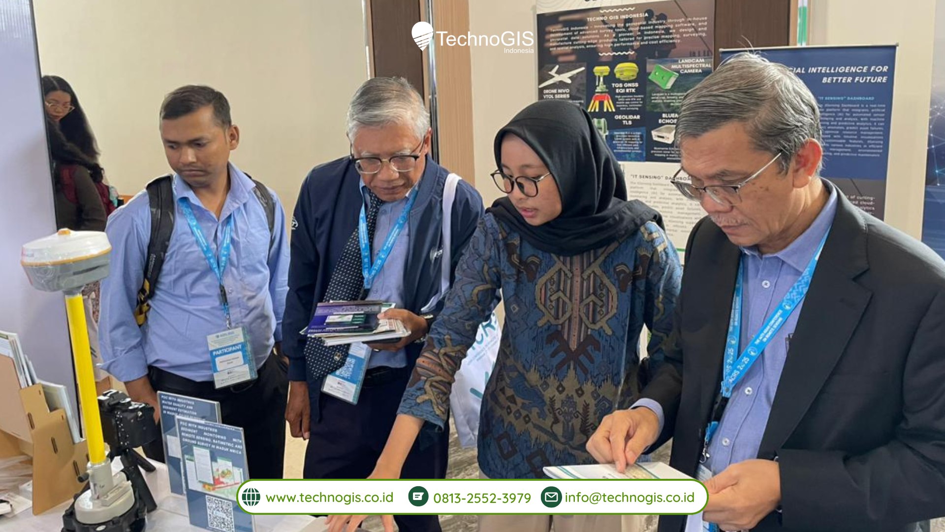
As one of the exhibitors, TechnoGIS Indonesia introduced a range of locally developed geospatial solutions designed to enhance efficiency, accuracy, and innovation in modern surveying and mapping practices. The TechnoGIS booth attracted strong interest from visitors worldwide, who had the opportunity to explore cutting-edge surveying technologies, including flagship products such as TechnoGIS GNSS RTK and iT Sensing.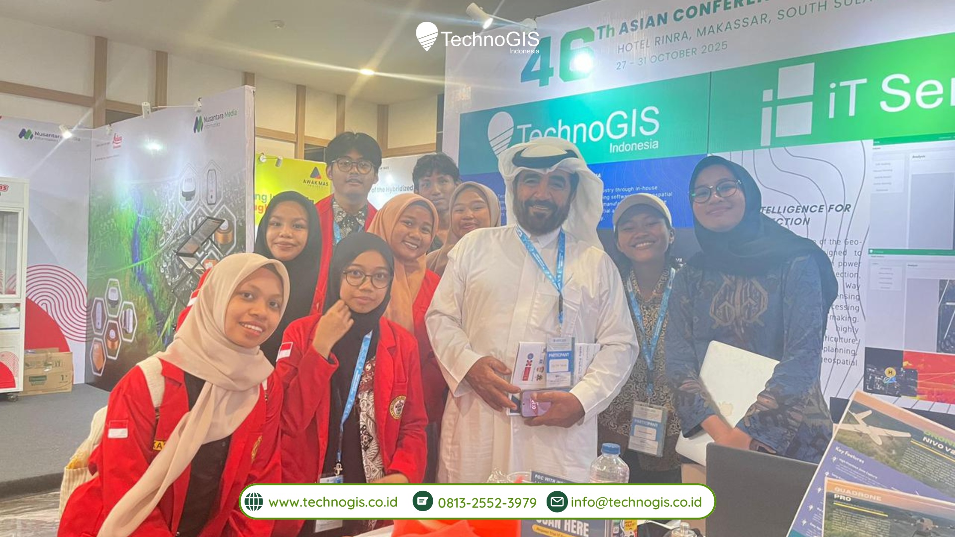
Showcasing Local Innovation for the Global Market
During the event, TechnoGIS Indonesia reaffirmed its commitment to delivering world-class geospatial technology infused with local innovation. Key highlights included the TechnoGIS GNSS RTK, a geodetic measurement instrument offering centimeter-level accuracy and coverage up to 35 km, and iT Sensing, a cloud-based remote sensing and image processing platform powered by AI, cloud computing, and automation.
A Platform for Collaboration and Knowledge Exchange
ACRS 2025 served as a major hub for geospatial science and technology in Asia, gathering researchers, academics, and industry leaders from dozens of countries. Through seminars, product exhibitions, and professional meetings, the event opened vast opportunities for interdisciplinary and international collaboration within the geospatial community.
At its booth, TechnoGIS hosted interactive demos and live consultations on GNSS devices, aerial mapping systems, and remote sensing solutions. The high level of enthusiasm from attendees reflected the growing interest in geospatial innovations developed in Indonesia.
Driving a Smarter Geospatial Future
TechnoGIS Indonesia remains committed to supporting digital transformation in surveying and mapping. By combining high-precision technology with locally driven solutions, the company aims to accelerate the adoption of geospatial innovations across sectors such as agriculture, construction, environmental management, and urban planning.
Participation in ACRS 2025 also marks an important milestone for TechnoGIS in expanding its global partnerships and showcasing Indonesia’s growing capabilities in geospatial research and manufacturing to the world.
