Bringing Surveying into the Future — TechnoGIS COO Inspires at GeoConnect Asia 2025
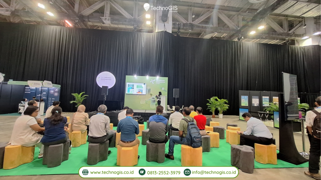
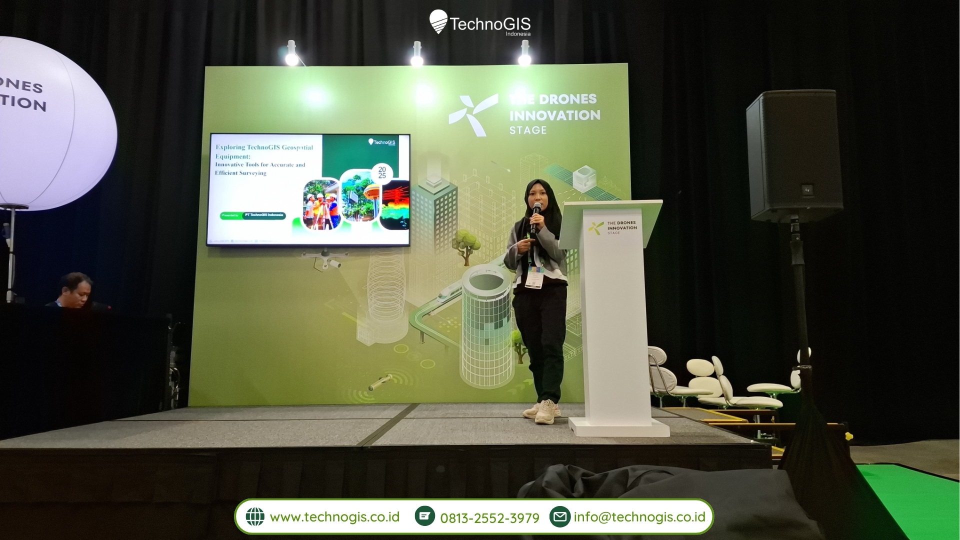
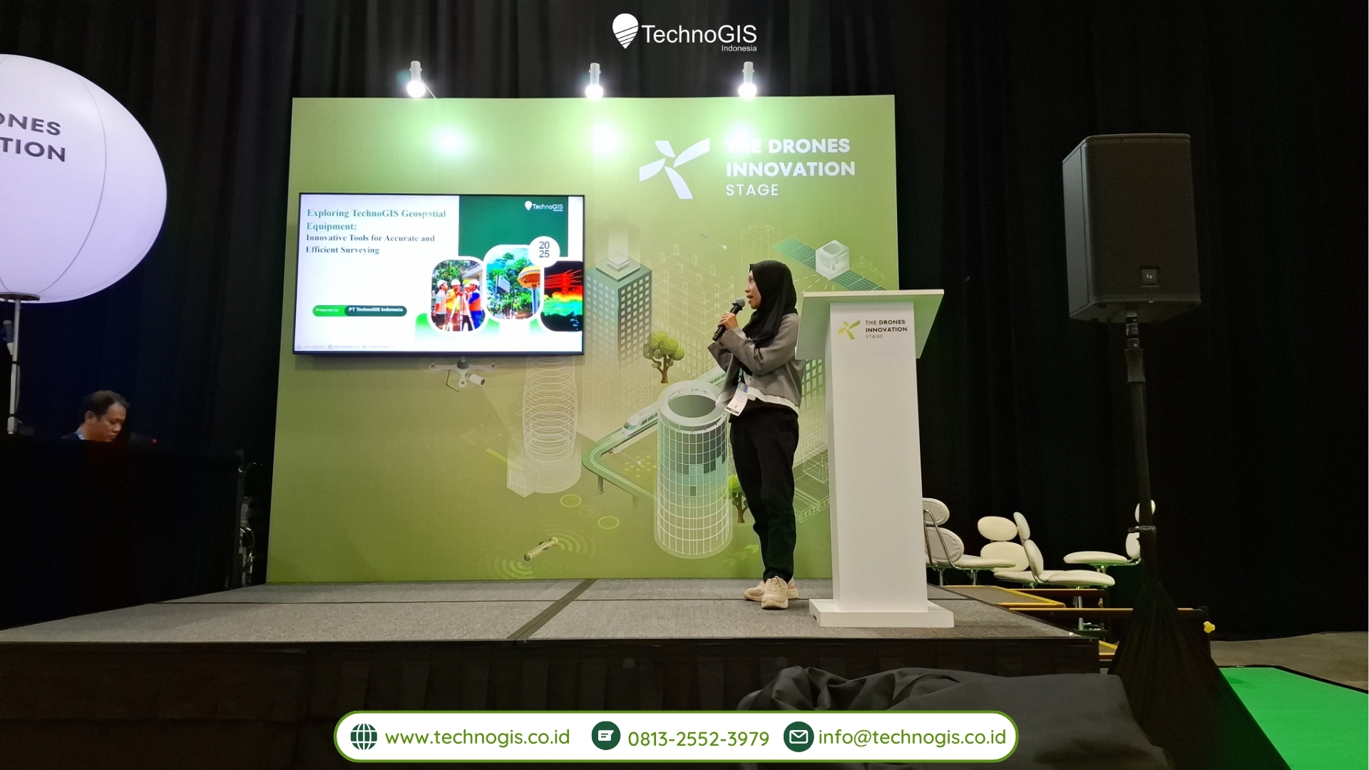
Singapore, April 10, 2025 — On the second day of GeoConnect Asia 2025, Southeast Asia’s leading geospatial and location intelligence event, Muji Rahayu, Chief Operating Officer of PT TechnoGIS Indonesia, captivated audiences with a forward-looking presentation titled “Exploring TechnoGIS Geospatial Equipment: Innovative Tools for Accurate and Efficient Surveying.” The talk took place at the Drones & Innovation Theatre, from 2:40 PM to 2:55 PM (SGT), drawing attendees from across Asia’s geospatial, engineering, and infrastructure communities.
The presentation marked a significant moment not only for TechnoGIS but also for the broader regional surveying ecosystem, as Muji Rahayu unveiled the company’s vision for making geospatial surveying more precise, efficient, and accessible through innovative hardware and integrated solutions.
A Pioneer from Indonesia Taking the International Stage
Representing one of Indonesia’s most prominent geospatial technology companies, Muji Rahayu began her session by sharing the journey of TechnoGIS — a company that started as a small geospatial service provider and has grown into a regional leader known for producing locally integrated, high-precision surveying tools. Her presence at GeoConnect Asia underscored the growing influence of Southeast Asian innovators in the global geospatial landscape.
“At TechnoGIS, we believe in local excellence with global standards. Our mission is to make accurate and efficient surveying tools that work in the toughest conditions, from remote jungles to dense urban corridors,” said Muji during her opening remarks.
The Theme: Innovative Tools for Accurate and Efficient Surveying
During her 15-minute presentation, Muji Rahayu walked the audience through a curated suite of geospatial equipment developed or supported by TechnoGIS, including:
1. GeoLiDAR ALS (Airborne Laser Scanning)
A flagship product, the GeoLiDAR ALS integrates high-resolution LiDAR sensors with UAV platforms to deliver accurate topographic maps, forest canopy models, and infrastructure profiles. With a scanning range of up to 300 meters and point density exceeding 200 pts/m², it supports everything from urban planning to disaster mitigation.
“We combine world-class LiDAR hardware with locally developed processing workflows — resulting in high precision, lower costs, and faster turnaround,” Muji explained.
2. NiVO Series Drones
The NiVO V1 and V2, TechnoGIS’s line of fixed-wing and VTOL drones, are engineered specifically for large-scale area surveys. Equipped with RTK/PPK GNSS and payload flexibility (RGB, multispectral, thermal), these drones are widely used in agriculture, mining, utilities, and environmental monitoring.
“Our drones are not only accurate but designed to adapt. Whether you’re surveying powerlines in Kalimantan or mapping coastlines in Sulawesi, the NiVO series delivers,” said Muji.
3. TGS Platform Ecosystem
Beyond hardware, TechnoGIS offers the TGS Software Ecosystem, a suite of modular GIS tools designed to manage spatial assets, analyze remote sensing data, and automate reporting. These tools support cloud-based workflows and AI integration, enabling real-time monitoring and predictive analysis.
Efficiency Meets Precision: The Core Philosophy
One of the key takeaways from Muji’s presentation was the TechnoGIS design philosophy — bridging the gap between field practicality and data accuracy. She emphasized that in many Southeast Asian countries, surveyors work in diverse, challenging environments — from mountainous regions to urban megacities. TechnoGIS designs its tools with these realities in mind.
“Precision is nothing without speed. Our goal is to give field teams tools that are intuitive, robust, and deliver results faster without compromising accuracy,” Muji noted.
Local Roots, Global Outlook
Muji also highlighted TechnoGIS’s commitment to local industry development, particularly through its support for TKDN (Tingkat Komponen Dalam Negeri) — Indonesia’s domestic component policy. By fostering local manufacturing, software development, and technical training, TechnoGIS aims to not only serve the Indonesian market but also export geospatial excellence to the broader ASEAN region.
“Our strategy is clear — build from home, collaborate abroad. We’re proud to present Indonesian innovations on this international stage,” she said.
Inspiring Collaboration and Future Innovations
The presentation concluded with an open invitation for international partnerships, R&D collaborations, and technology integration projects. TechnoGIS is currently exploring joint initiatives in:
-
Smart infrastructure monitoring
-
Geo-AI for urban and environmental modeling
-
Cross-border drone regulations and survey standards
Audience members, including representatives from government agencies, infrastructure firms, and academic institutions, engaged in a Q&A session with Muji after the presentation, further exploring topics such as data privacy, AI integration, and field deployment challenges.
Resonating with the GeoConnect Asia Audience
GeoConnect Asia 2025, held in the heart of Singapore, has become a regional hub for showcasing geospatial innovations that drive resilience, sustainability, and digital transformation. TechnoGIS’s session was among the most attended at the Drones Innovation Theatre, a testament to rising interest in affordable, scalable surveying tools from emerging economies.
“Muji Rahayu delivered a powerful session. It’s refreshing to see a Southeast Asian company lead with both vision and practicality,” commented a participant from Malaysia’s Ministry of Land and Survey.
About TechnoGIS Indonesia
Founded in Yogyakarta, Indonesia, PT TechnoGIS Indonesia is a geospatial technology and services company focused on delivering innovative mapping solutions. Its offerings range from drone and LiDAR-based surveys to spatial analytics platforms, geospatial data visualization, and consulting services.
With a mission to empower decision-making through spatial intelligence, TechnoGIS supports clients in energy, forestry, agriculture, infrastructure, and government sectors. The company’s commitment to quality, innovation, and local empowerment continues to drive its growth across Southeast Asia.
Looking Ahead
As GeoConnect Asia 2025 wrapped up, TechnoGIS’s presence left a lasting impression — not only as a vendor of tools, but as a catalyst for change in the way spatial data is collected, analyzed, and applied.
“The future of surveying is agile, intelligent, and connected — and we’re here to shape it,” said Muji Rahayu in her closing line, leaving the audience with both inspiration and anticipation.


Leave a Reply
Want to join the discussion?Feel free to contribute!