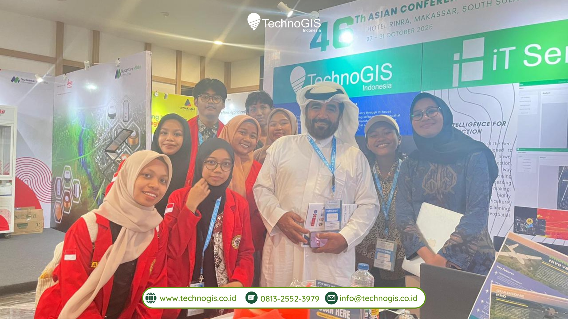
TechnoGIS Indonesia once again demonstrated its strong commitment to advancing the nation’s geospatial ecosystem through its participation at the GNSS Indonesia Summit & Expo 2025, held from 19-23 November 2025. As one of Indonesia’s leading innovators in mapping and positioning technology, TechnoGIS Indonesia showcased a series of advanced solutions designed to support efficiency, accuracy, and modernization across multiple industries, especially those relying heavily on precise spatial data.
During this five-day national-scale event, GNSS Indonesia Summit & Expo 2025 gathered major industry players, technology providers, and geospatial professionals to highlight the future of advanced positioning technology in Indonesia. Standing among these forward-thinking companies, TechnoGIS Indonesia presented a portfolio of solutions that reflect its mission to empower smarter decision-making and accelerate the adoption of modern geospatial tools.
One of the main highlights at the TechnoGIS booth was the TechnoGIS GNSS RTK, a next-generation positioning system developed to deliver high-precision, real-time accuracy in even the most challenging field conditions. Thanks to its powerful specifications and user-oriented design, TechnoGIS GNSS RTK quickly captured the attention of visitors, surveyors, and industry experts throughout the event. The system enables significantly faster workflows, simplified field operations, and enhanced data reliability, making it an ideal solution for land surveying, construction, agricultural planning, and national infrastructure development.
In addition to the TechnoGIS GNSS RTK, TechnoGIS Indonesia also showcased other complementary technologies that support complete and integrated mapping operations. These include the Bluemarine Echosounder, a robust hydrographic instrument designed for underwater depth measurement, and Geodetic GPS equipment that plays a crucial role in achieving accurate geodetic control points. Together, these products represent TechnoGIS Indonesia’s broader capability to deliver end-to-end geospatial solutions across terrestrial and marine environments.

Leave a Reply
Want to join the discussion?Feel free to contribute!