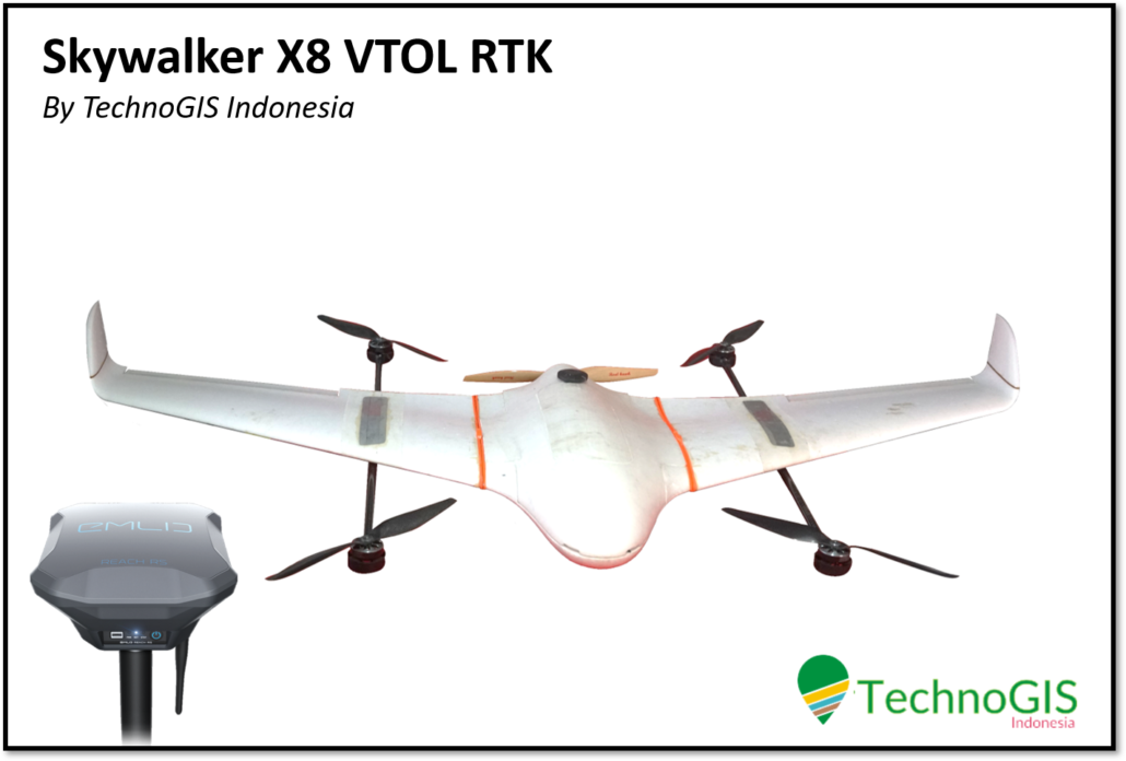
Deskripsi
Spesifikasi Pesawat
Body : Skywalker X8
Kamera : Sony A5100
Area 1x Terbang : 500-1000 Ha
Resolusi : >5cm
Battery : 22.000 Mah 2 Unit
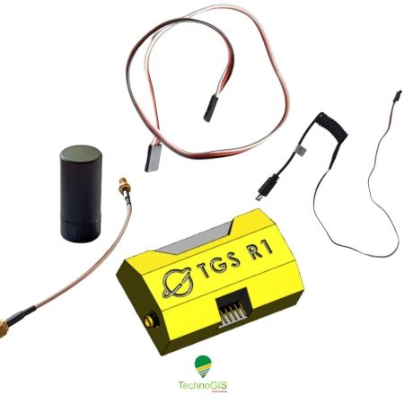
GPS : RTK System
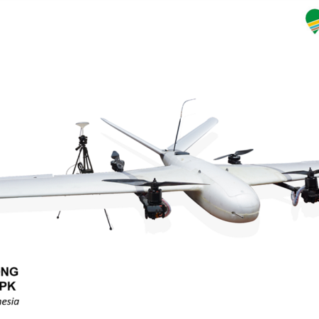
Termasuk
- Unit Pesawat
- Kit Pengoperasian
- Box Pesawat
- Pelatihan penerbangan, pengolahan data ( mozaik, dem, dtm, kontur, perhitungan sawit )


Ulasan
Belum ada ulasan.