• Call: +62274 – 885879
  • Chat : +62813-2552-3979
  • Mail : [email protected]
  • en
    • en
    • id
Equator GNSS | GeoLiDAR | NiVO Drone | Blue Marine | Landcam
  • 0Shopping Cart
TechnoGIS Indonesia
  • Home
  • About
    • About TechnoGIS
    • Our Awesome Team
    • Partners & Networks
    • Look at GIS & Geographic Insight
    • 3 Keys Our Focus for Innovation
    • Social Responsibility
    • Terms and Conditions
    • Contact
  • Software
    • GIS Survey Mobile
    • TGIS Cloud Dashboard
    • TGS Post Processing
    • iTSensing Cloud Image Processing
  • Instruments
    • TGS Low Cost RTK Reciever
    • NiVO VTOL Drone Mapping
    • Blue Marine Echosounder
    • GeoLiDAR Laser Scanner
    • Landcam Multispectral Camera
  • Solutions
    • CadGIS – Cadastral & Civil
    • TaniGIS – Agriculture
    • MinerGIS – Mining & Energy
    • DesaGIS – Urban Planning
    • BisnGIS – Geo Business Tools
    • NavnGIS – Navigation & Tracker
    • CarbonPlot – Carbon Balancing
    • PowerGIS – Powerline Inspection
    • TelcoGIS – Telco Tower Inspection
  • News & Updates
  • Academic
    • Online Webinar
    • Short Course & Training
    • Certification
  • Store
  • Login
  • Menu Menu

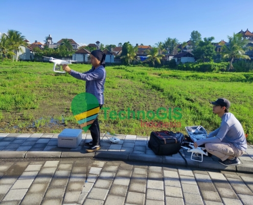
Pengukuran dan Pemetaan Topografi (Konturing) – Ubud Bali

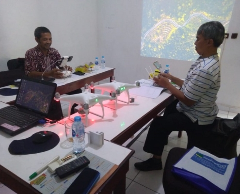
Pelatihan UAV Dinas Perumahan Rakyat dan Kawasan Permukiman Kab. Okus 2019

Pelatihan UAV PT Darmex Plantation 2019

Pelatihan UAV Badan Penanggulangan Bencana Daerah Kab. Belitung Timur 2019

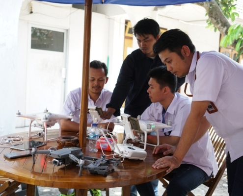
pelatihan drone uav

Pelatihan UAV PT Bukit Asam 2019

Pelatihan UAV PT Visual Mitra Mandiri 2019

Pelatihan Inhouse UAV Dinas Pekerjaan Umum dan Penataan Ruang, Kab. Grobogan 2019

Pelatihan UAV 08 – 10 April 2019 dari GIZ Forclime dan KPHL Unit II Batam

Pelatihan UAV 8 10 Oktober dr RAPP dan GIZ Forclimetechnogis.co.id

Pelatihan UAV 8 10 Oktober dr RAPP dan GIZ Forclime

pelatihan technogis 2018technogis.co.id

Pelatihan UAV PT Energi Mega Persada 1-4 Oktober

Page 2 of 512345

About Us

TechnoGIS is a Geospatial technology company with low-cost survey tool products, cloud mapping software and geospatial data mapping and analysis services from Indonesia.

One of the best geospatial startup company in South East Asia with focusing on environment problem and bring solution to natural disaster, degradation foresty, land mapping and surveying, mining and energy also smart city.


Office Address

Main Office
Jl Pamularsih No.152 B,
Klaseman, Sinduharjo, Ngaglik, Sleman, Yogyakarta, Indonesia, 55283

PIDI 4.0 Building 8th Floor
Jl Raya Kby. Lama No.41, RT.6/RW.8, Sukabumi, Kb. Jeruk, West Jakarta, Indonesia, 11560

Phone : +62274 – 885879
Mobile : +62813-2552-3979
Email : [email protected]

Our Products

Instruments:
TGS RTK GNSS, NiVO Drone VTOL Mapping, GeoLiDAR, Blue Marine, Landcam Multispectral

Software:
GIS Survey Mobile, TGIS Cloud GIS, TGS Post Processing, iTSensing


© Copyright 2015 - Techno GIS Indonesia
  • Facebook
  • Instagram
  • Rss
  • LinkedIn
  • Youtube
Scroll to top