• Call: +62274 – 885879
  • Chat : +62813-2552-3979
  • Mail : [email protected]
  • en
    • en
    • id
Equator GNSS | GeoLiDAR | NiVO Drone | Blue Marine | Landcam
TechnoGIS Indonesia
  • About
    • About TechnoGIS
    • Our Awesome Team
    • Partners & Networks
    • Look at GIS & Geographic Insight
    • 3 Keys Our Focus for Innovation
    • Social Responsibility
    • Terms and Conditions
    • Contact
  • GIS Hosting
    • PostGIS Cloud Database
    • Geoserver Cloud
    • Geonode Cloud
  • Software
    • GIS Survey Mobile
    • TGIS Cloud Dashboard
    • TGS Post Processing
    • iTSensing Cloud Image Processing
  • Instruments
    • TGS Low Cost RTK Reciever
    • NiVO VTOL Drone Mapping
    • Blue Marine Echosounder
    • GeoLiDAR Laser Scanner
    • Landcam Multispectral Camera
  • Solutions
    • CadGIS – Cadastral & Civil
    • TaniGIS – Agriculture
    • MinerGIS – Mining & Energy
    • DesaGIS – Urban Planning
    • BisnGIS – Geo Business Tools
    • NavnGIS – Navigation & Tracker
    • CarbonPlot – Carbon Balancing
    • PowerGIS – Powerline Inspection
    • TelcoGIS – Telco Tower Inspection
  • News & Updates
  • Academic
    • Online Webinar
    • Short Course & Training
    • Certification
  • Store
  • Login
  • Menu Menu

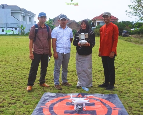
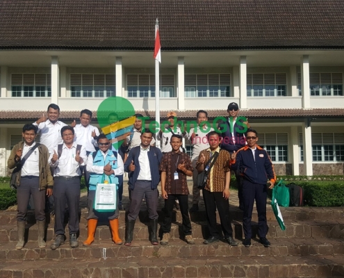
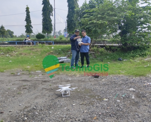
Pelatihan UAV Mapping Dinas Perkebunan Kab.Berau, Kalimantan Timur 2023

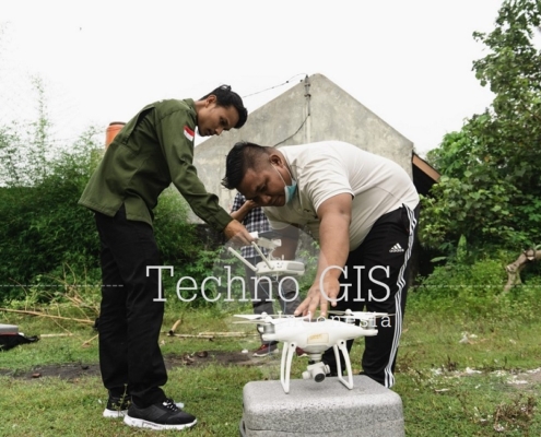
Pelatihan UAV Universitas Ma Chung

Pelatihan UAV Dinas Lingkungan Hidup Kota Bontang

Pelatihan gis

Pelatihan UAV Law Office (HPP & Partners “Advokat and Legal Consultan’s”)

Pelatihan UAV PT GEOSPATIAL INFODINAMIKA Tahun 2022

Pelatihan UAV Dinas PUPR Tanah Bumbu Kalimantan Selatan Tahun 2021

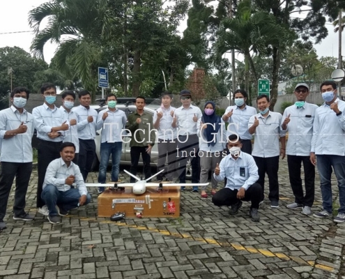
Pelatihan UAV BPBD Kota Serang Tahun 2021

Pelatihan UAV NIVO PPK PT PLN UPDL Bogor Tahun 2021

Pelatihan UAV (Inhouse) PT Gunung Madu Plantations

Pelatihan UAV KUD Karya Murni 2021

Page 1 of 512345

Tentang Kami

TechnoGIS adalah perusahaan teknologi geospasial dari Indonesia yang menghadirkan produk alat survei berbiaya rendah, perangkat lunak pemetaan berbasis cloud, serta layanan pemetaan dan analisis data geospasial.

Sebagai salah satu perusahaan rintisan (startup) geospasial terbaik di Asia Tenggara, TechnoGIS berfokus pada permasalahan lingkungan dan menghadirkan solusi untuk bencana alam, degradasi hutan, pemetaan dan survei lahan, pertambangan dan energi, serta pengembangan kota cerdas (smart city).

Alamat Kantor

Kantor Pusat
Jl. Pamularsih No.152 B,
Klaseman, Sinduharjo, Ngaglik, Sleman,
Yogyakarta, Indonesia, 55283

Kantor Cabang – PIDI 4.0
Gedung PIDI 4.0, Lantai 8
Jl. Raya Kebayoran Lama No.41, RT.6/RW.8,
Sukabumi, Kebon Jeruk,
Jakarta Barat, Indonesia, 11560

Phone : +62274 – 885879
Mobile : +62813-2552-3979
Email : [email protected]

Produk Kami

Instruments:
TGS RTK GNSS, NiVO Drone VTOL Mapping, GeoLiDAR, Blue Marine, Landcam Multispectral

Software:
GIS Survey Mobile, TGIS Cloud GIS, TGS Post Processing, iTSensing


© Copyright 2015 - Techno GIS Indonesia
  • Facebook
  • Instagram
  • Rss
  • LinkedIn
  • Youtube
Scroll to top